Saturday, December 6, 2008

Huangdi Dian: The Emperor's Hall


When is a hike not just a hike? For some it might be when it there is a nice meal awaiting at the end. For others when a swim or hot spring slips in somewhere. But for me it's a hike that involves temples, monks, monkeys, and an odd meditation centre where "the tea is free if you don't feel the chi."

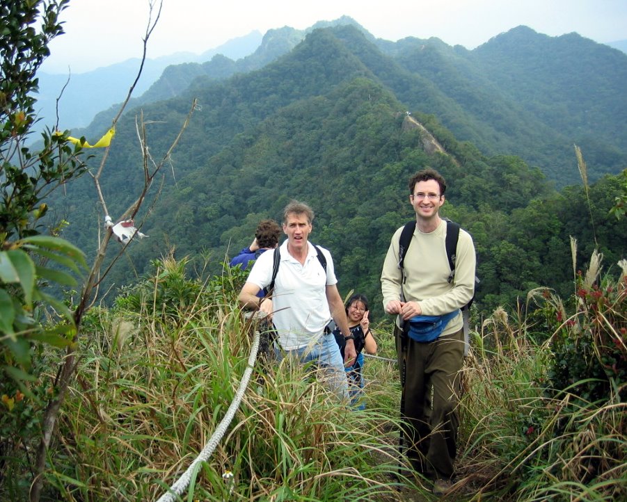
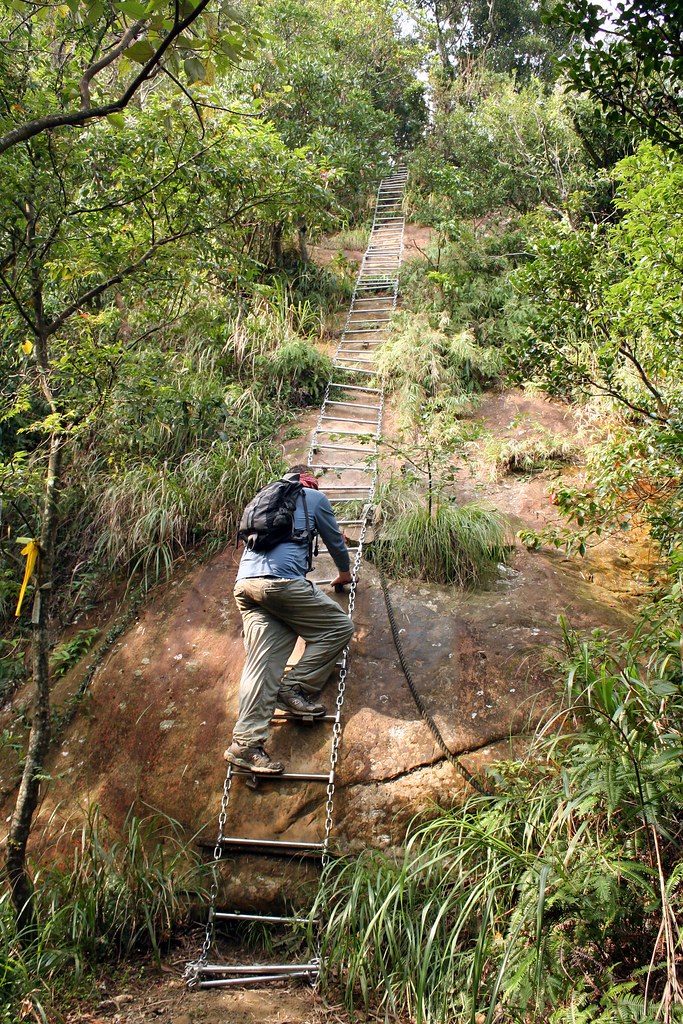
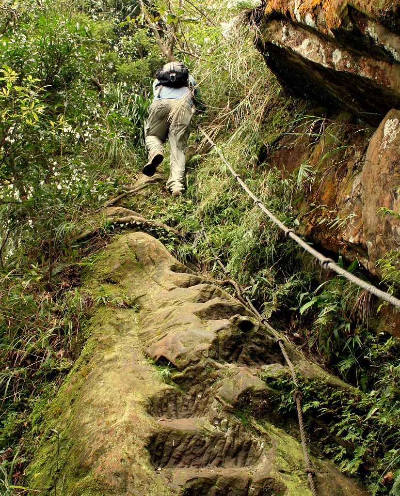
On a brilliant Sunday sunny morning in October, Chris and I set out for the thrilling ridge walk known as Huangdi Dian, the Emperor's Hall. I'm not sure how many times I've done the hike but the first time was over 10 years ago. Back then the ridge was not chiselled flat on the top, and there were no marque style ropes and supports as you see now.


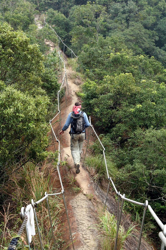
I remember once taking my wife on the trail and about halfway along finding two Taiwanese office workers and a couple Filipino girls just sitting on a lonely stretch of bare rock. In that odd Asian way, no one showed the slightest sign of anxiety, though after a few lines of conversation it was obvious they were all too scared to go on or turn back.

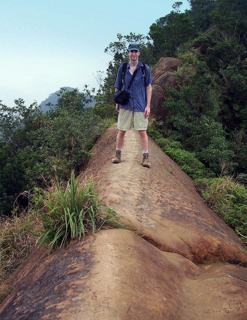
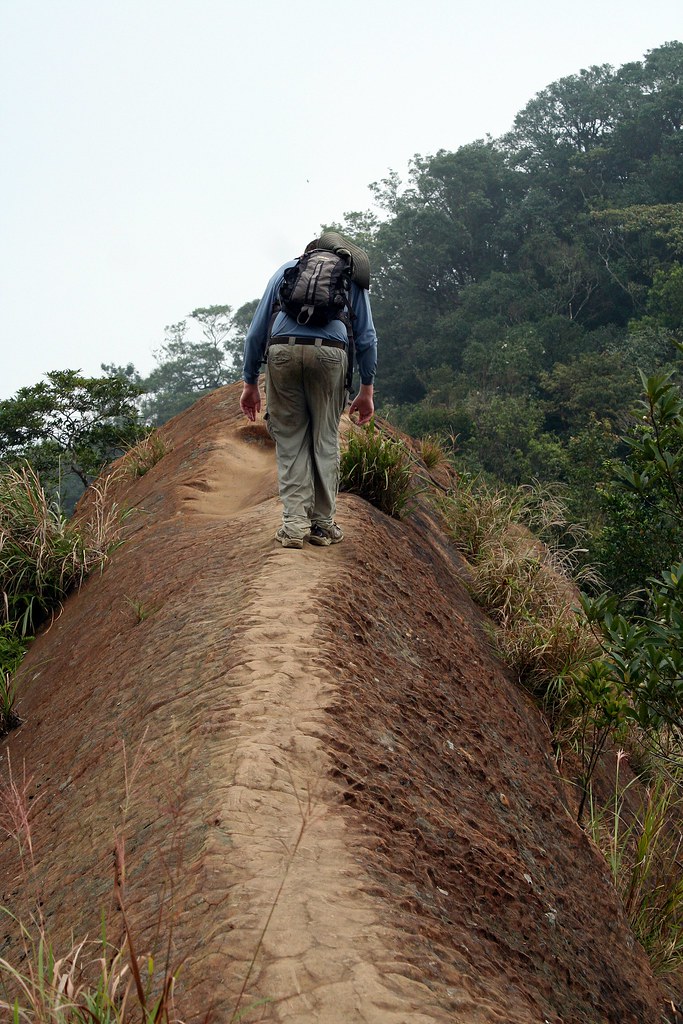
So, the safety additions are sensible on a trail this popular and they really don't distract too much. Nicely they did leave this one section unadorned:


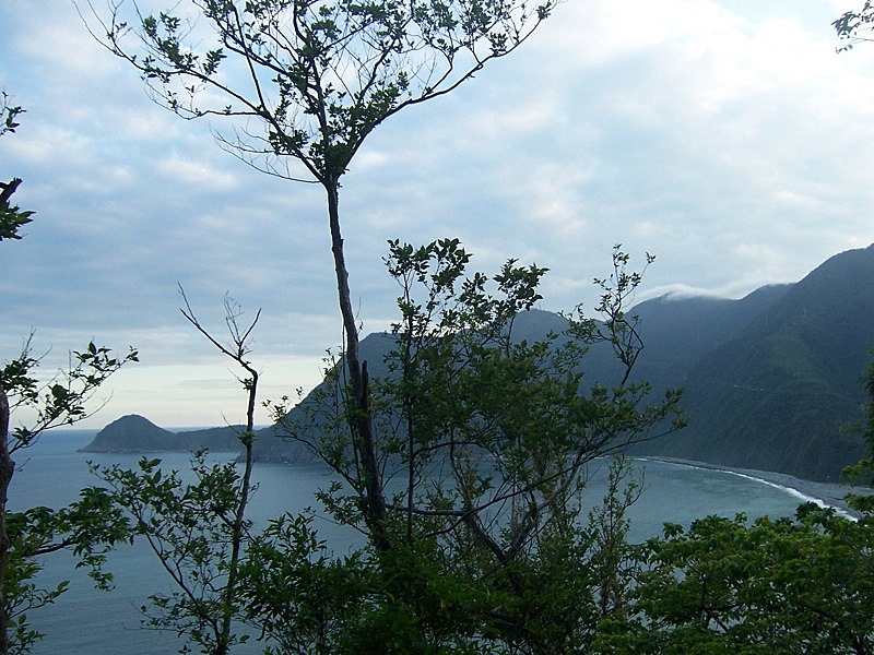
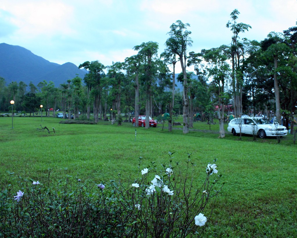
As I wrote it was a gloriously sunny and clear day when we set out from Muzha. At last I figured, I would get some distance landscape shots of the craggy dark hills of the north that roll on and on in successive layers. If was a nice thought, but of course the sky grew grey as we rode the 666 bus (which long habit and tradition requires me to now call the bus of the beast) to nearby Shiding.

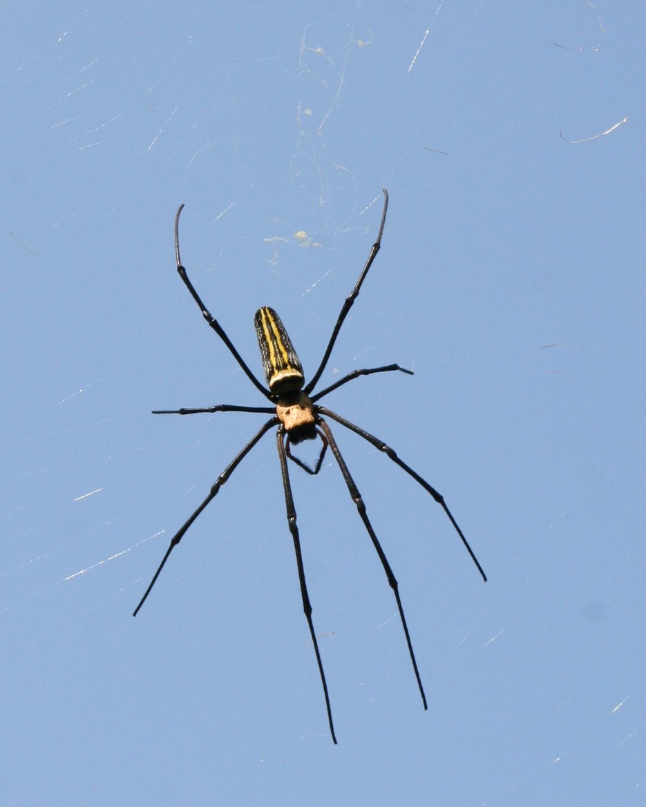
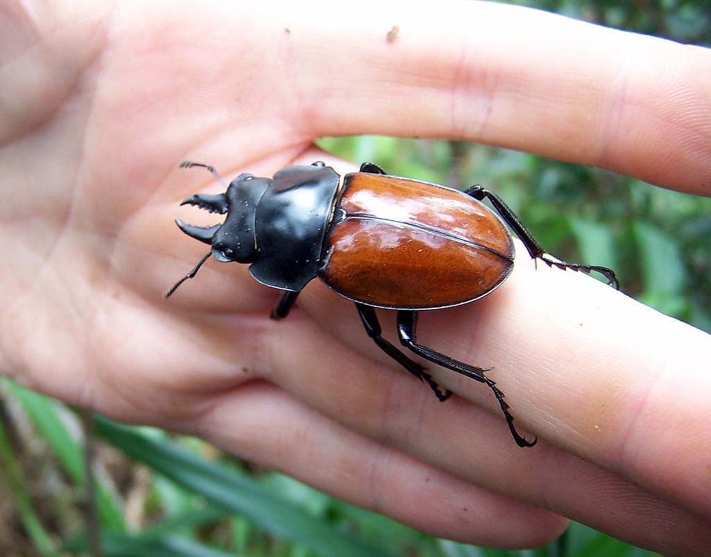
I try to take advantage of change now, rather than gripe about it, and decided to use the overcast sky to force my eye downward. As it turned out, some nice opportunities arose to observe the smaller forms around me. Thanks to Chris for providing the names of these little critters:

Formosan Swallowtail (Papilio taiwanus)


Golden orb-weaver (Nephila pilipes).


Stag beetle (Neolucanus swinhoei).


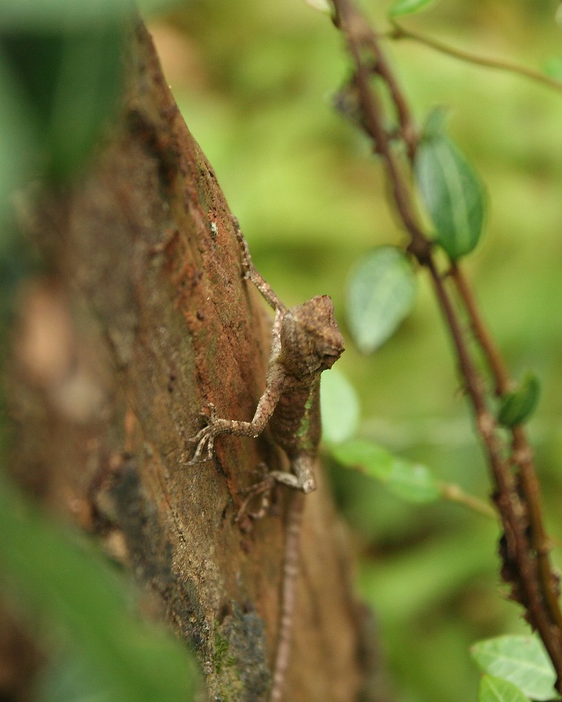
Swinhoe's japalura (Japalura swinhonis).


The charmingly named camel's toe (Chris insists it is "foot") tree (Bauhinia purpurea).


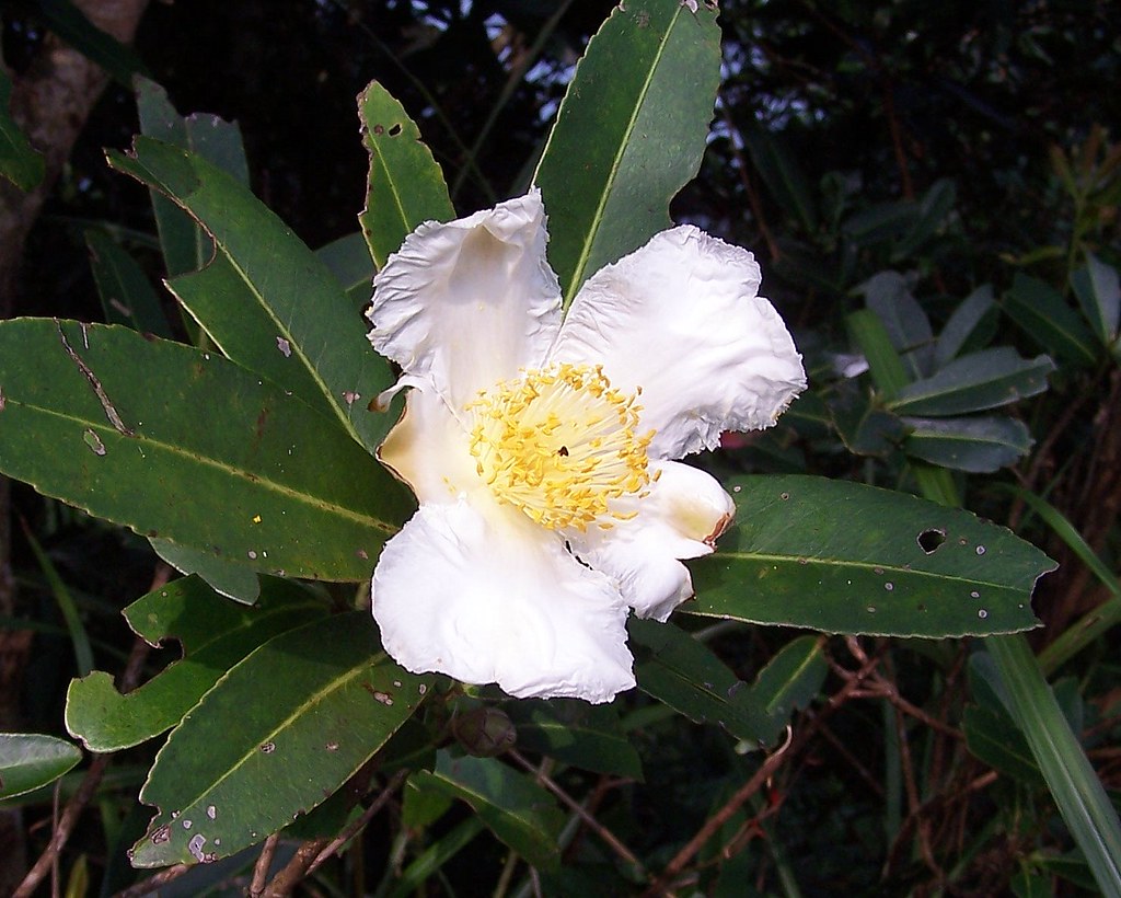
And the flower of the fried egg tree (Gordonia axillaris), looking a little overcooked today:


From Shiding, the ridgeline is reached from a number of staircases. It's about an hour no matter which way you start, and then another two hours or so humping up and down the contours of the ridge to the west peak. This is one of those hikes that make you feel like a kid in an adventure playground.


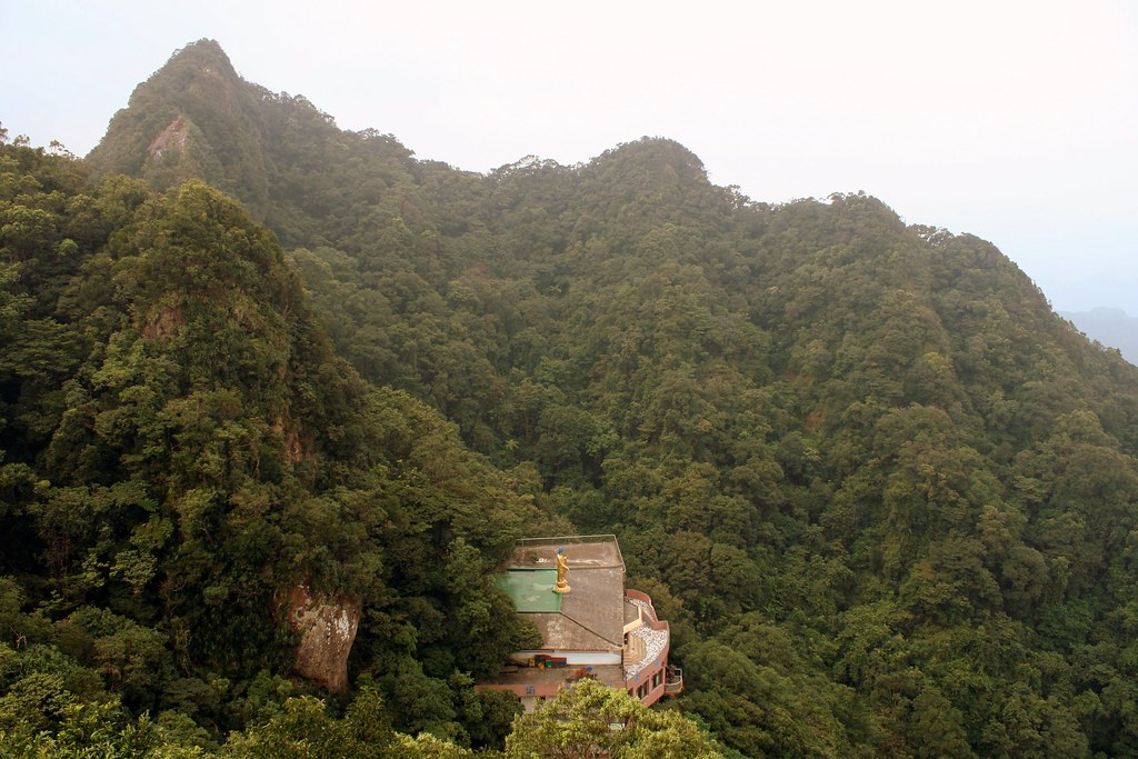
Below the west peak is a small Buddhist temple that literally hangs off the slopes.


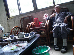
On an earlier hike we had pushed our way down the overgrown trail to the temple and met the resident monk. He was a nice old fellow, and with his lose grey robes, shaved head, and sly humor he was like a character in Journey to the West.

In the pic below he is entertaining us with tales of his master's own monkey friend who would sit in the chair opposite during meditation, meals and tea drinking.


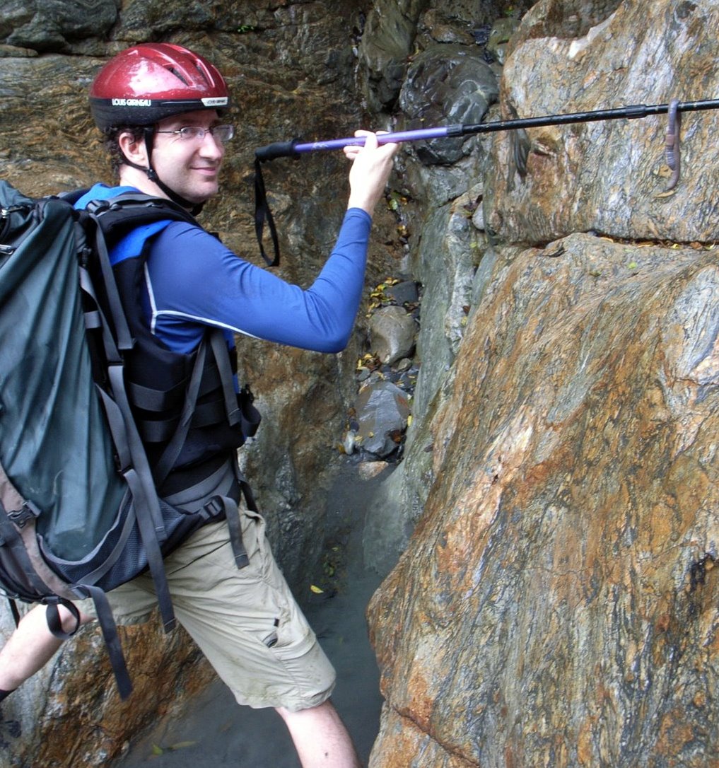
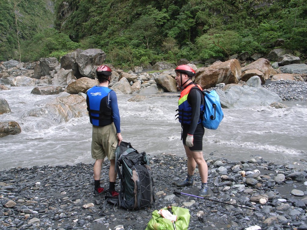
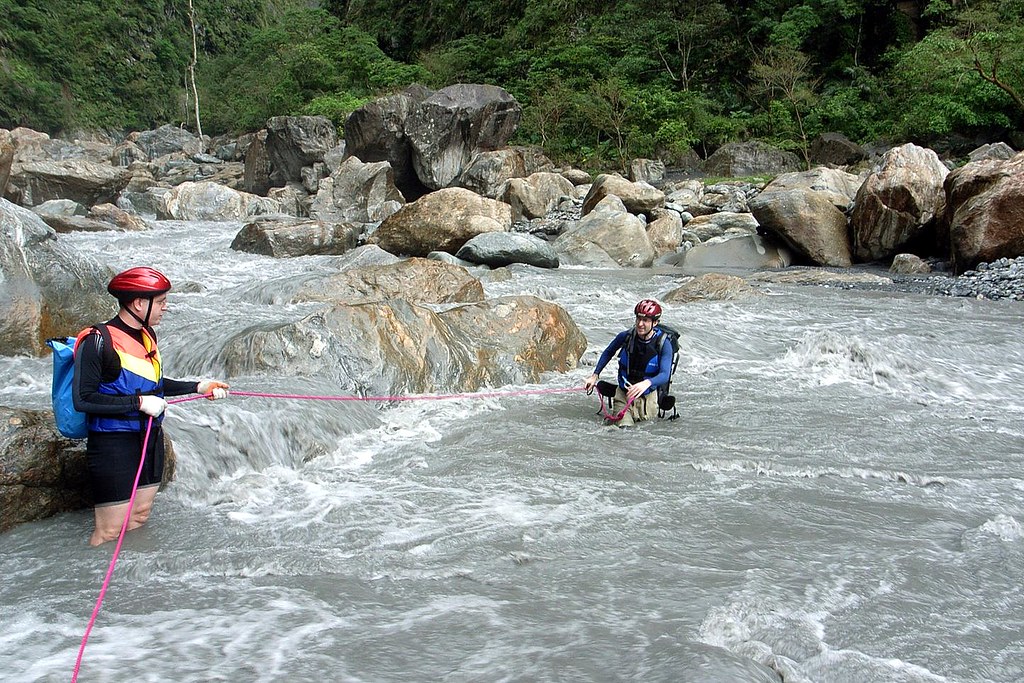
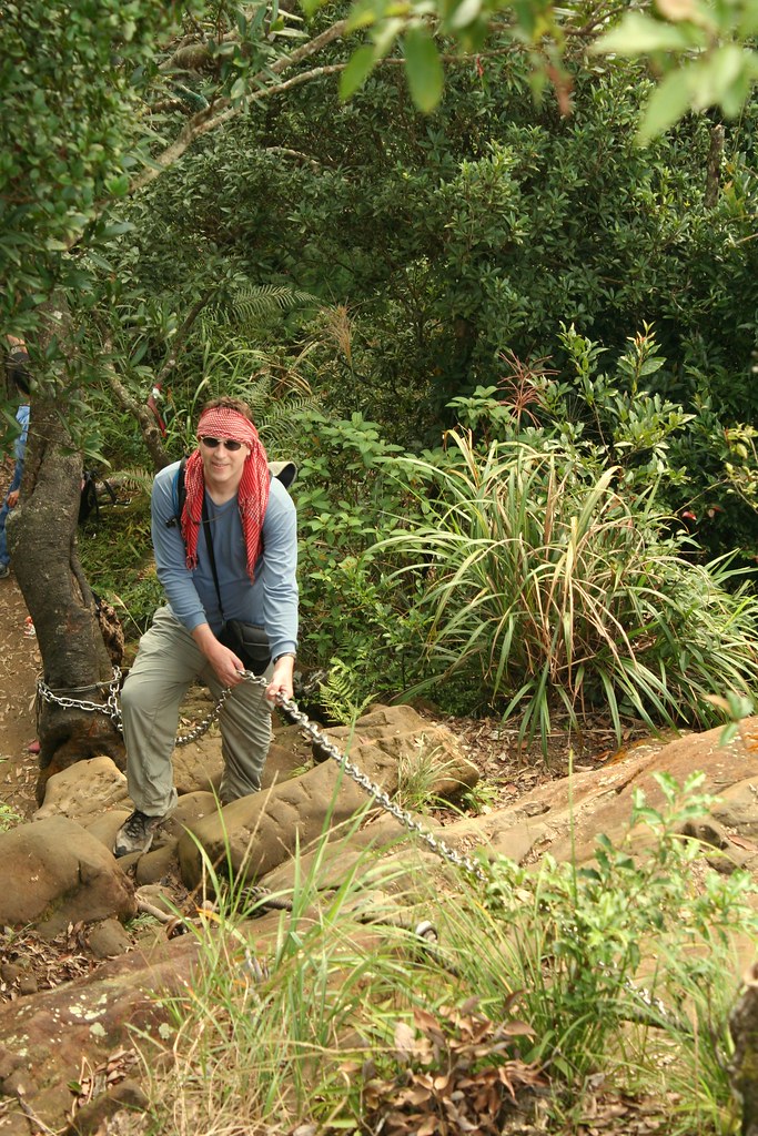
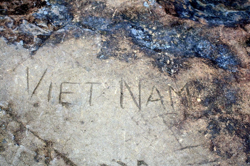
But on this day, Chris and I continued along the ridge, making our way to the east peak. Between the two ridgeline is mostly exposed limestone. You can see a long stretch of it from the west peak.


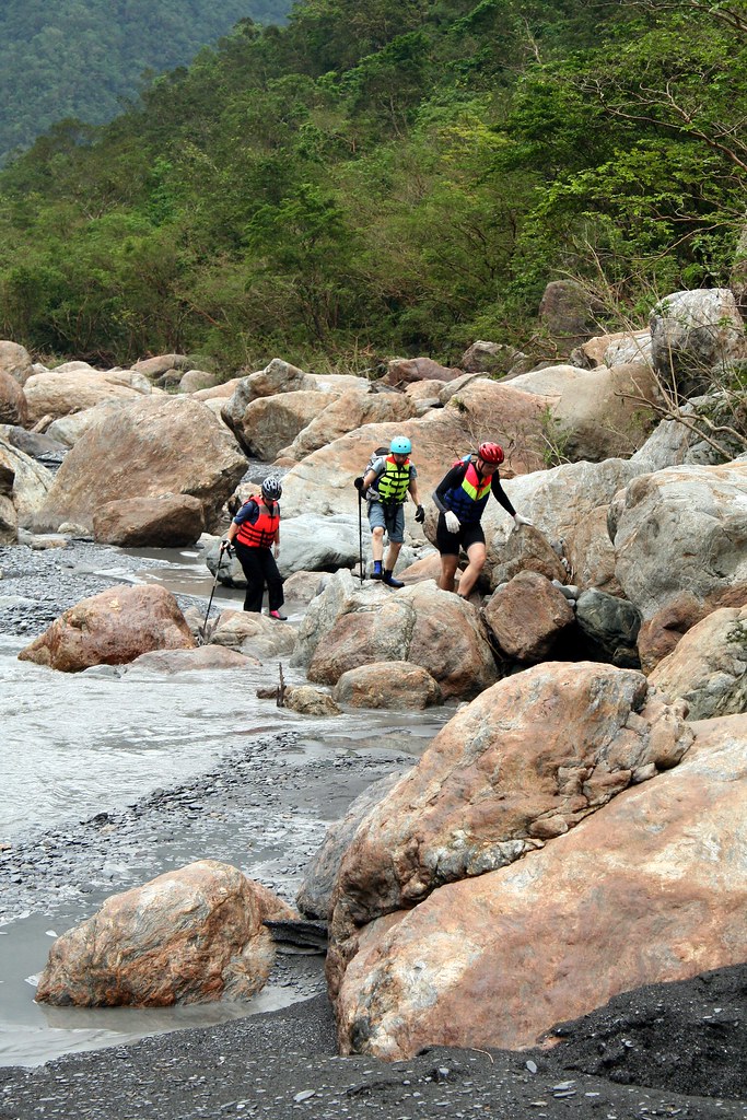
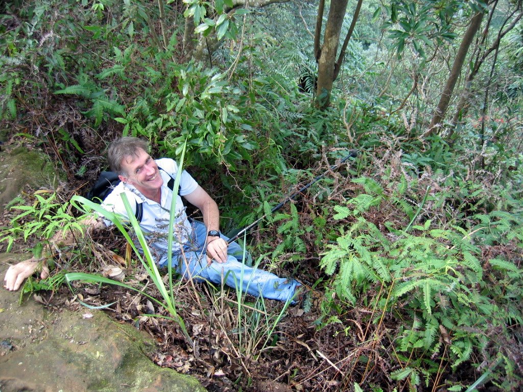
It's not as hairy as year ago, but do be cautious none the less. People still do fall to their death here. Our friend Michael (on an earlier hike) was lucky.


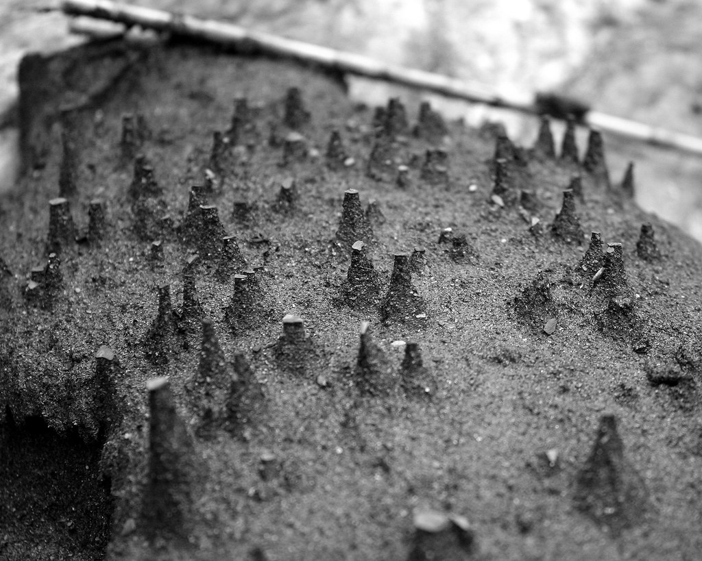
Lots of graffiti carved into the soft stone:


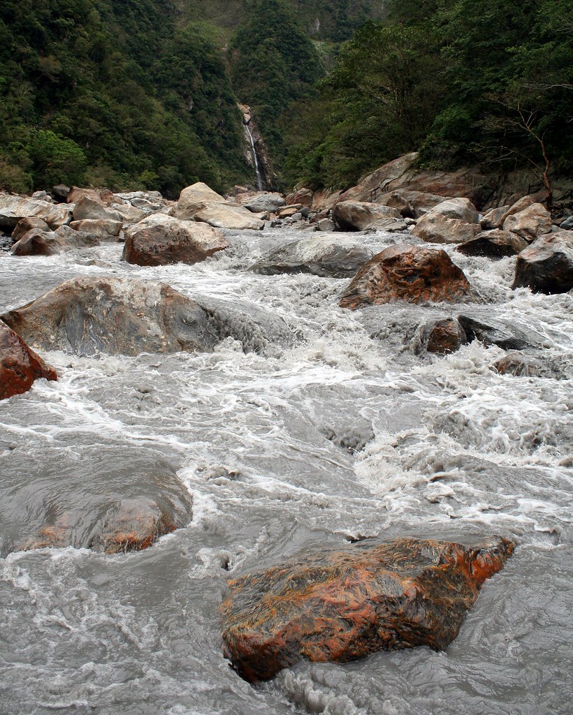
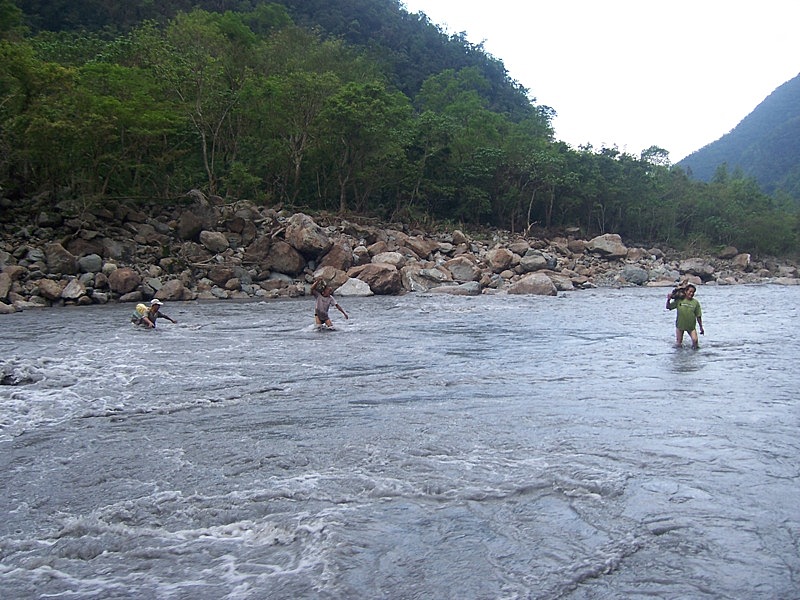
At the east peak we began our descent to the road. It is possible to continue east from here until a point where the ridge is literally cut in two by the Jingmei River. Chris and I plan to finish the walk to this end one day and then follow the road to the back of the wooded hills south of Pingxi. At this point we will have walked, at different times of course, the entire distance from the end of the MRT line in Muzha to Daxi beach on the east coast: a journey of four days in all!

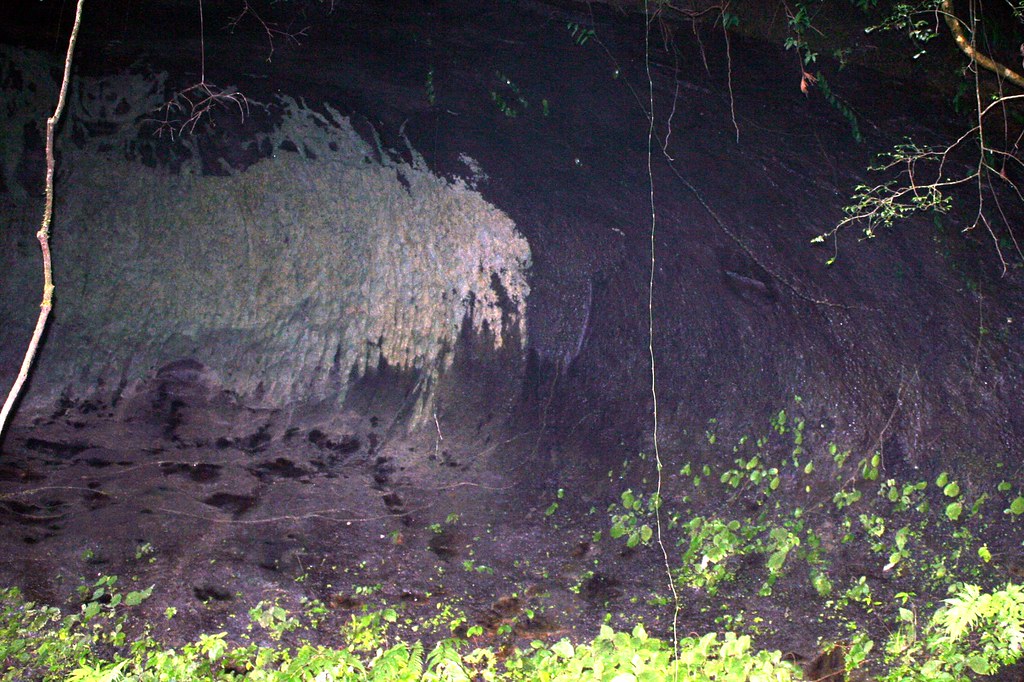
The path down from the east peak is steep and loose in many section. This may explain why I have never seen this large cave on any other hike. Note the shaggy buffalo painting on the far wall:


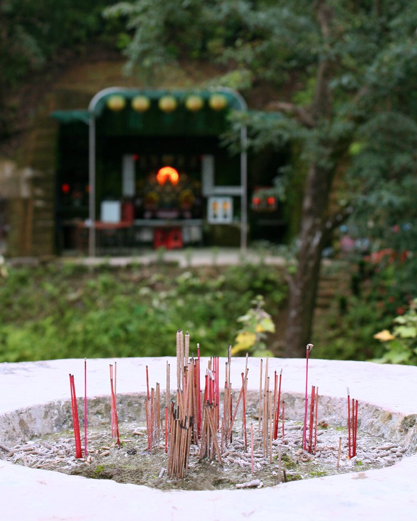
A little further down was this shrine dedicated to Guanyin and the God of Wealth.


Note the cliched foregrounding of the burning incense:


From the trail exit we followed a small mountain road down to the 106. Not long after, we passed a rather pretty looking teahouse, set across the river, and popped in for a quick looksee. The owner stood at reception (there were no customers) and graciously offered to give me a tour - for NT50. Thinking this might be interesting enough to include in the next LP Taiwan, I agreed.

The shop ran lengthwise above the river: it was 100m long but was barely 3m across. There were small dividers to break the length into little spaces for tea drinking, or meditation as Mr Chen, the owner, informed me. I looked across the river to the 106 and watched a spewing scooter roar by. Odd place for a meditation centre, I thought.

But Mr Chen, who had lived in Toronto for some years and spoke decent English, was a bit of a character and didn't seem the type to lose faith in a meditation centre off a busy road. And as we stepped from the reception area across a pond on a series of stones, he explained the rather labyrinthine code of discounts:

"If you are over 60, half price."

"If you are over 70, free."

If you can jump across the pond from rock to rock, half price."

"If you can cross the pond on the rocks with your eyes closed, free."

And my favorite, worthy of Johnny Cochrane:

"When you're drinking tea, if you don't feel the chi, it's all free."

The man was serious about the power of his tea. Or rather he trusted the tea god, which he had placed halfway down the shop on a large alter. Unlike other shops where you choose tea from a menu, here you select a divining stick from the cup. And it is the god who makes the selection for you: Oolong, Baochong, Fushou, Longjing, Oriental Beauty, and so on, depending on your needs, and perhaps the god's whims. What would Jesus drink, you might ask yourself?

"All the tea has very powerful chi," Mr Chen said matter-of-factly. "I haven't eaten since breakfast. I just drink tea. But I'm not hungry at all."

He then led me to the far back of the shop where a small wooden shutter let in the artificial light hung on an outside tree. Mr Chen pointed to a wide wooden chair under the shutter and invited me to sit down. I faced back down the length of the shop.

"This is the emperor's throne," Mr Chen said. "You can watch as everyone comes in or out."

"Huangdi Dian," I muttered. It was a nice coincidence.

I got up and we strolled back toward the front. I noted the attractive use of carved wood and unpolished stone in his decorations and Mr Chen lit up with just enough wattage to switch on a firefly.

"This is real Chinese style. Most of what you see in Taiwan is not real. It's polluted with western influence."

I laughed. So we westerners are a form of environmental damage?

"Yes. Westerner people are pollution."

He cracked just the tiniest smile.

At the reception area we crossed the pond again and Mr Chen stepped to his desk and took out a name card. He wrote NT50 on the front and said he would give me a discount next time I came as compensation for paying for the tour.

And remember, he said in his deadpan way as Chris and I headed for the door, "If you don't feel the chi, the tea is free."

In Shiding, as we waited for the bus, Chris and I knocked back a couple beer we had picked up in the local Family Mart, a convenience chain store in Taiwan.

"Oh shit," I muttered suddenly. "I forgot my Nalgene bottle at the tea shop."

I guess we westerners really are a type of pollution.

Practicalities:

To get to the trailhead, take the MRT to Muzha Station and walk down to the main road. Cross and catch the 666 bus on the other side to Shiding, a 30 minute ride. Get off at the main junction at a convenience store and head up the alley to the left of the store (you'll quickly pass an open plaza). Turn left at the first road and follow that UP a winding km or so. You'll see the obvious trailhead stairs to your right.

The hike can be a long one so give yourself plenty of time. The shortest route would be to head down at the west peak. You can't really get lost and there are always other hikers about.

For the Dutch, well, times are tough so I suspect you may not have the cash for the airfare this time. No worries, you may live vicariously through this blog for the time being.

Full set of pics here.

Tuesday, November 4, 2008

Nan-ao River Trace


It's raining hard outside my window, and the patter of drops on my awning has put me in a nice mellow mood. Rain reminds me of home, Vancouver, and since Vancouver reminds me of hiking it's time for the latest installment of Pashan.

The subtitle of Pashan is: hiking the mountains, valleys, rivers and jungles of Taiwan. I haven't had a good river tracing entry since last year's 5 day walk up the Namasiya River in Sanmin (which led of course to a month in bed with scrub typhus) so I am well overdue.

Now November is a bit late in the season to be sloshing in water, but we'd had good weather all week and I was bringing along a pair of neoprene shorts and socks. My destination was the North Nan'ao River and the wild hot springs a few kilometres upstream.


I invited a few friends I thought would be up to the challenge and we set out on Saturday night to Nan'ao with plans to camp out at the Nan'ao Recreational Farm. Kat was in my car, and being a good conversationalist, she distracted me from the road. From Xindian MRT station we drove across Muzha to the highway entrance. By the time I realized I was on the wrong highway we were at the exit near Xindian MRT station. Oops. One hour later we had crossed Muzha again and were back on the route to Hwy 5.

We made it to Su'ao without incident (maybe because most of the way is a tunnel) but here once again we started going round in circles, always managing to get off on roads heading north.

"You know, I really do write about this country for a living," I joked.

Eventually we found ourselves on Hwy 9 heading south on the highly scenic stretch from Su'ao to Nan'ao. The twisting road tosses up expansive views across the Pacific and down the coastline which, rising straight out of the water, and broken with dark islands and rugged promontories, is a tropical island setting par excellence.


Of course we were driving in the dark (the pic is from the return trip) and missed it all. Plenty of mist though and I must say I did not enjoy the tortuous journey very much.

We arrived in Nan'ao about 9.30pm. After a short drive through town we crossed the bridge over the North Nan'ao River and took an immediate left. I didn't recognize the road at all.

"Yep, I really do write about this country for a living," I joked again.

It took a few drives up and down the main drag before I remembered that there are two rivers in Nan'ao and the left turn was after the bridge over the south river. My travel writer's bona fides re-established, we made our way to the campground.

There was no one at reception so we set up on a grassy field near a small cluster of other campers. Kat noticed the mess of bottles, bags and food items on the picnic table beside a group of tents and commented how this would get you eaten by a bear in Canada.

But in Taiwan the camper has fiercer worries, including out-of-control kids and karaoke. Yep, the machines were blasting what might - within scare quotes - be generously called "melodies" from a metal shelter across the field. More annoying though was the scene of domestic un-harmony in a backlit tent 50 yards from us. A spoiled kid was being berated but his parents, but such were the wails and moans of the child that, complemented with the KTV soundtrack, the scene took on a strangly operatic quality.

The wailing stopped after an hour but the KTV continued till 11.20 when the revelers went to bed. No big deal. Unfortunately, there was another group singing on the far side of the campground, up the road past the reception house. The sound was low at first but as the night grew quieter it was less and less tolerable.

"Well, the locals win tonight," I said, as really there was not much to do. Holger quipped that at least it wasn't techno, as he had once been forced to endure a sleepless night in Heilongtan when a group of local gangsters decided they needed more of the great outdoors in their lives.

Like everyone else I had a fitful night's sleep. The music went on till 1.30am and then, after a peaceful lull, when only the sounds of night herons, crickets, and geckos filled the air, the singing picked up at 4.30. I tried sticking my fingers in my ears to drown out the sound but of course as soon as I started to doze off the fingers slipped out and the ahhhhh ewjgg oooooxqqwy, la la la was all I could hear.

By 6am we were all up and preparing breakfast. Everyone was in a good mood despite lack of sleep. The campground, as you can see in this pic, is really lovely though I wouldn't be in a hurry to ever stay there again on a weekend.


We headed out about 8.30 and drove into town for some water and snacks for the trip.

"Do you know how to get to the trailhead?" Holger asked.

I said I did and we'd meet him there. But as I drove through town it was obvious I couldn't remember the turnoff for the springs. I wanted to ask a local but I couldn't remember if the name of the developed springs along the same road was Siji or Si-something else (Siqu, or Four Parts, as it turned out).

"Where the hell is my Lonely Planet when I need it."

As we crossed the Nanao South River I saw the road that we needed to turn off. We drove down the quiet country lane, and passed through the aboriginal village of Jinyue. On the other side, we found ourselves being challenged to a race by an 8 year old on a scooter. We knew he was 8 because the other two kids on the scooter with him didn't look more than 10 and 12. In any case, he beat us.

The road roughened at the end, and a few stretches were in desperately bad shape. Two patches saw the tarmac jagged and crumbling at the edges where half the surface had collapsed. We probably shouldn't have driven over them.

In any case, at the end of the road we parked and donned our super hero costumes.


Normally I don't wear much for river tracing but we were going to have to cross a fast wide river and then enter a narrow canyon with 600m high rocky walls. Last time Holger traced up to the hot springs rocks tumbled down on his group at frequent intervals.


We set out and hiked along the shore, clambering over and around the boulders, which were stained with beautiful swirling orange and white patterns. The river beside us flowed a muddy grey (from upstream quarrying) but otherwise the terrain was a very beautiful and untouched part of Taiwan. There was lots of driftwood caught between rocks and a fair amount of it was sweet smelling camphor. There were also some strange sand formations.


And one long but very dead worm:


Holger was nominally leading the trip and told everyone to keep an eye out for signs of when to cross the river. Usually these are rock cairns and sure enough, an hour later we saw a small collection of stones at a sandy spot that was about as far up the left bank as we could go.


The spot looked right and we decided to give it a try. I tied myself to a 75-foot section of climbing rope and, with Holger holding on, stepped out into the river.


The water was up to my knees for a few metres but then quickly reached my waist and then solar plexus. At this deepest spot, the current was also the fastest and I could feel myself losing my balance. I slipped and Holger had to pull me in.

We tried a few more times, and from various locations along the river but it was always the same. The current was strongest where the river was deepest and the riverbed was soft gravel. Even if I could have made it across it is doubtful the gals could have as they would have been up to their noses in the deepest parts.

So we turned back and had lunch at the junction of the Nan'ao and a smaller, but beautifully clean and clear river tumbling down from the slopes. With so many hours on our hands we decided to head up this river for a look. It was a great move, as we hit a number of deep pools and frothy waterfalls perfect for standing under for a good massaging. Or superhero posing:


The scramble up the river was also a nice challenge, and I plan to return here next summer to trace as far up as I can.


When we got back to the cars, it was still early and so we drove to the Siqu Hot Springs. These are a makeshift affair of concrete pools built at river level: short on aesthetics though long on great views.

As we pulled up a group of 15 Taiwanese headed down the stairs. I balked at a soak with such a crowd, but Holger wanted to at least see the springs again (he had soaked and camped beside them many times). Surprisingly, only one open concrete box was left; the other structures had been destroyed by this year's typhoons. Such is life in Taiwan, and such are the difficulties of being a travel writer. Folks, if you head to Nan'ao don't get pissed off that some things aren't as I described them in 2006.

But note that there are advantages. With the destruction to the springs visitors now need to wade along the banks for 50m to reach the remaining pool. The 15 Taiwanese who arrived with us couldn't be bothered to step into the muddy river and so we had the riverside alkalescent carbonate hot spring waters pretty much to ourselves.

Of course the aboriginal guys had no problem crossing the stream. But they were a lot further downstream, and the river was wider, and shallower, and I think they did haves some kind of shamanistic protection...


As with all great hikes we finished this one off with a big dinner, this time a seafood feast at Su'ao harbour. A long debate ensued over who has it rougher in Taiwan: western brides or western grooms: on reflection I think the brides won soundly.


And as with all great hikes, it has taking me two days to clean up and put away all my clothes, pack and gear.


All pics can be seen here.

Practicalities:

Nan-ao is on the east coast, and Highway 9 runs straight through the centre. Regular train service connects the town with Taipei and Hualien. Getting to the river and campground is a bit tricky, as you have read, so my best advice is to bring a Lonely Planet with you (we're the only guidebook to have coverage - including a map - on this area).

If you head to the area in the next few months keep an eye out for any sign of the new trail systems connecting Suao and Nan-ao, as well as Nan-ao with Siji on Highway 7 (between Wuling Farm and Chilan). Both are part of the National Trail System and are slated to open at the end of this year. For a short stroll, there is a trail up to Turtle Hill which affords majectic views down the coast. Nan-ao is one gorgeous slice of Taiwan.

For my dear Dutchies, if you can find your way to Dusseldorf, Saudi Airways has a special to Bangkok. From here catch an EVA flight to Taipei and the take a bus to the Taoyuan train station. Catch a Hualien bound train and get off at Nan-ao Station. Or best, just call me when you arrive.