Showing posts with label hike. Show all posts

Thursday, November 5, 2009

A Sunday Stroll in Maokong (貓空)


Here's something easy to test the blog waters again. A hike in the hills of Maokong, the tea growing region I am looking out at from my study window even as I type this:
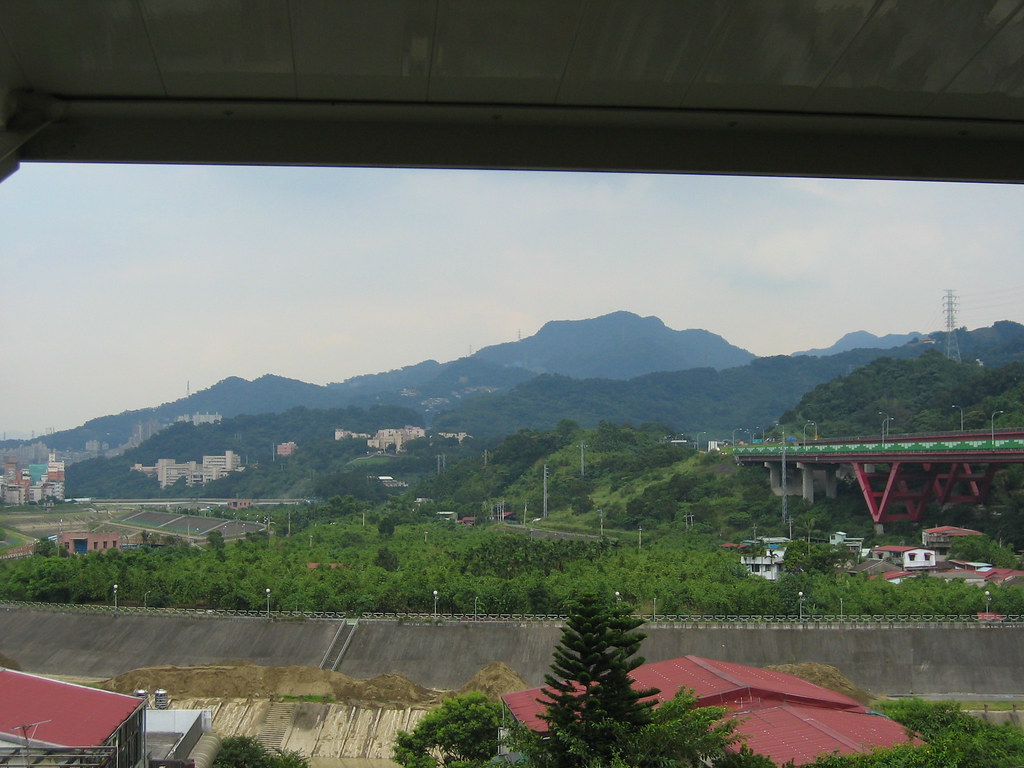

A bit of background:

"Maokong in fact has quite a sweeping history. Originally it was a hunting ground for members of the Atayal indigenous tribe, Chiu said. When the Han Chinese began populating and developing the area, they brought with them a variety of industries. Development of the Maokong area dates back to the Qing Dynasty. The area was known for many different things over the years, including camphor, leeks, rice, Paochung tea, and especially Anhsi tea. After a port was opened in northern Taiwan and trading establishments were created, the area became best known for its tea leaves and its camphor.

During the period of Japanese occupation of the island, the Japanese changed the key industries in Maokong in order to meet the needs of Japan. For example, a tea production and sales organization was set up. In addition, the area became a center for indigo dye and also camphor. The Japanese also began mining the area for coal. After the outbreak of World War II, the Japanese called for the end to planting tea in the area and instead ordered the growing of rice. This had an enormous impact on the industrial make-up of Maokong. Chang Na-miao, an individual in the private sector, decided on his own to import Iron Guanyin tea, which over the years was what Maokong became associated with.

Chiu Yung-chun said that after Retrocession, the tea industry once again gradually took hold on Maokong. In 1987, when former President Lee Teng-hui was still in his position as the mayor of Taipei, he promoted the establishment of tourist tea plantations in Mucha."

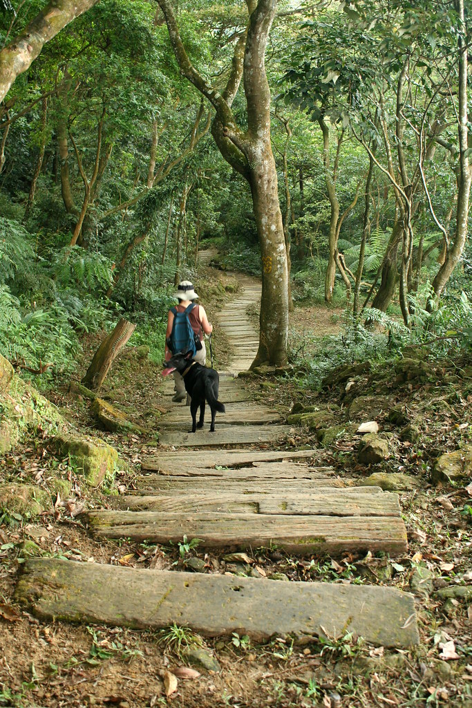
Despite the couple hundred years of development it's mostly a jungle up there, and a remarkably dense one just at the doorstep of Taipei. One Sunday in August we rode up to Sanxuan Temple at the end of the gondola line (not running at the moment). A set of stairs beside the temple leads to a wonderful network of trails, much of it running along a ridgeline that extends to the coast.

We started up the stairs but then quickly took a right side path through the tea fields. In the dense forest above us we heard dozens of Muller's Barbet chattering away (pic from wikipedia).


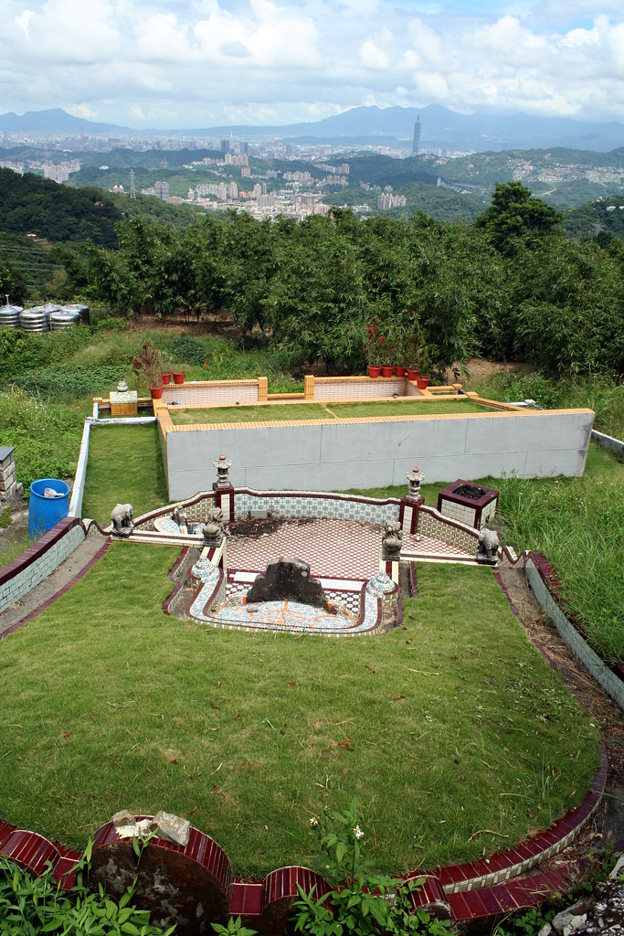
A number of massive old tombs looked out over the city.

Not far along we found a couple wax apple trees overloaded with overripe fruit and snagged some for lunch. On the other side of a gully we picked up a main trail and followed it to an obvious junction on the backside of the ridgeline I mentioned above (it was at its lowest point here). It's a pretty area of terraced tea fields and open views. We headed down a dirt path and swung round the contours of the slopes passing a small farmhouse with a lotus pond.

I can't believe I forgot to take a pic of the farmhouse. Not only does it have a great rustic charm, but more importantly it's where I have always planned to hide out when the Chinese invade. Next time.

The section of trail past the farmhouse has been a favorite for years. I find it pretty, peaceful and full of simple charms.


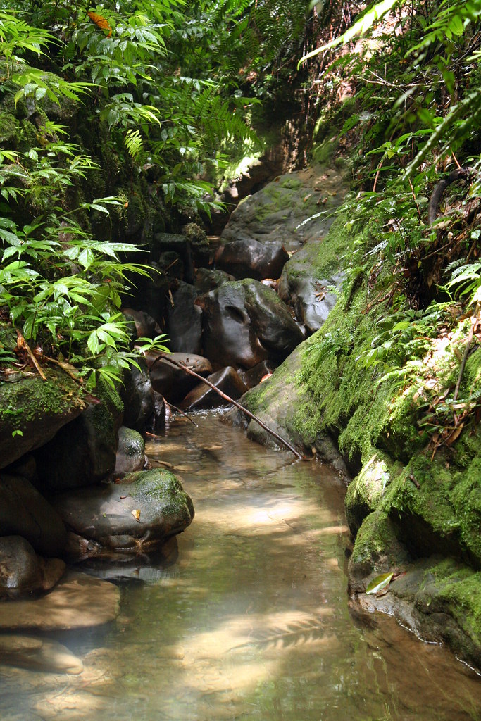
After reaching a pass, the trail dropped into a narrow valley through which flows a small clean stream. The stream has a classic feel to it, but is a bit odd in this region as there are no eroded stones in the bed. I'll let my friend Richard Saunders explain this:

"Ever wondered where Maokong, that ever-popular hillside on the southern edge of Taipei where everyone goes to drink tea, got its name? Despite having the character for 'cat' in the name, it has nothing whatsoever to do with our feline friends.

Instead it's a transliteration of the Taiwanese name, 'Niaokeng,' ('teapot hole'), an allusion to the many potholes eroded into the rock of the riverbed in the valley below. For many years this fascinating sight was visited by few visitors to the area other than local geologists, but now the potholes are easy to get to, thanks to a new, well signposted path that begins not far from the upper station of the Maokong Gondola (forecast to reopen for Chinese New Year 2010).

Potholes (otherwise known as kettle holes or giant's kettles) occur when small stones or gravel, spun in a circular motion by eddies in the water, gradually erode smooth-sided, circular depressions in a stream or riverbed. These examples at Muzha might not look especially big or impressive, but they're of great interest to geologists, as they're quite uncommon."

Here's a pic of a large section of teapot holes on the Keelung River near Shifen.
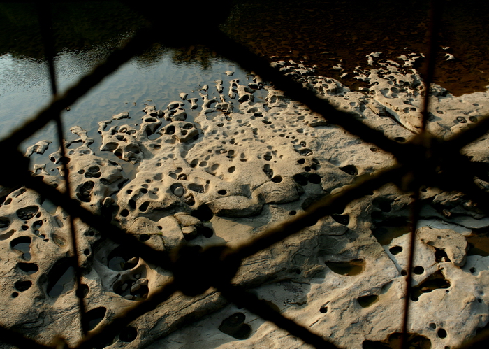

In any case, as Richard says, one of the best streams for viewing the teapot holes in Maokong is close to the gondola. It's worth a look when you are in the area.

At the end of a long series of wood steps we reached a grassy field at the bottom of the valley. A number of colorful swallowtail butterflies fluttered up and circled overtop. Maokong doesn't have big colonies of butterflies but it does have a nice variety of species and they are comfortable with people.

We crossed the stream on a small wooden bridge and then headed down. The trail ran close to the water for half a kilometre and then made a sweep to the left as it hugged a rather precipitous cliff wall. The steps were now cut into the stone and rather slippery on this humid day. We held on to the metal railing and inched our way down slowly. Katanya picked up Xian Cao (her three-legged dog) and carried him down.

Most of the group had now idea what to expect at the bottom so it was fun to watch their reaction when this popped up:


It's a small branch temple of the larger and more well known Zhinan Temple that overlooks Muzha (and is the penultimate stop on the gondola). I discovered it quite by accident about 10 years ago and have been coming ever since once or twice a year.

The temple is carved into the cave behind a 30m waterfall and you can walk into it, and get behind the falls, on the weekends and explore.
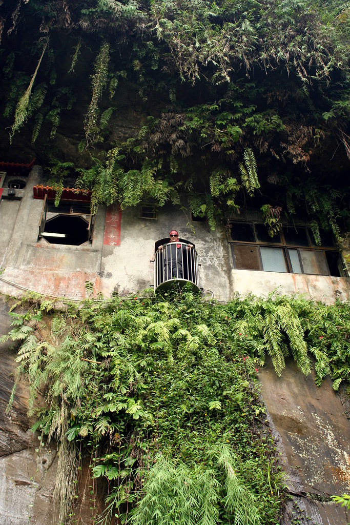

There's not so much to see inside though one wall has some interesting faded Buddhist script, and the caretakers are usually around offering tea to visitors. Sure enough that afternoon we were plied with cup after cup of Baozhong, a locally grown oolong. I had always thought Tieguanyin (Iron Guanyin) was grown in Maokong but the caretaker informed me that both are grown: Tieguanyin is planted on the other side of the ridge, closer to Taipei, while Baozhong is grown in the region closer toward Pinglin.

After lunch and tea we started back. At the bridge we continued upstream rather than crossing the bridge and returning the way we came. This is another favorite section of trail. Though Taipei sits just on the other side of the ridge, there is a palpable feeling that you have gotten away from it all. Or perhaps gotten back in time. The stream flows through a narrow but steep ravine. Some sections have manmade stone retaining walls and near the end an old rotted-out bridge crosses the junction of two small streams.
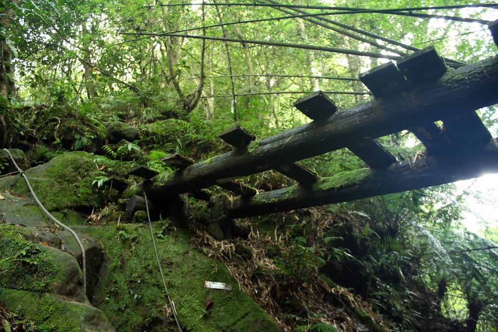

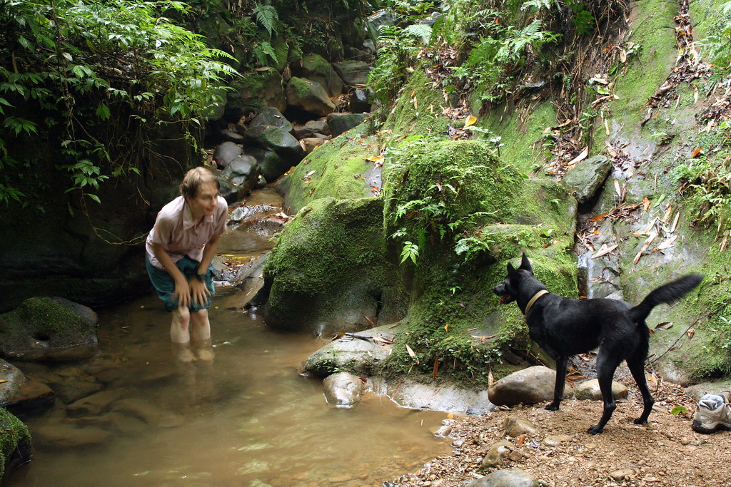
I love this spot though Xian Cao took some time to appreciate it.

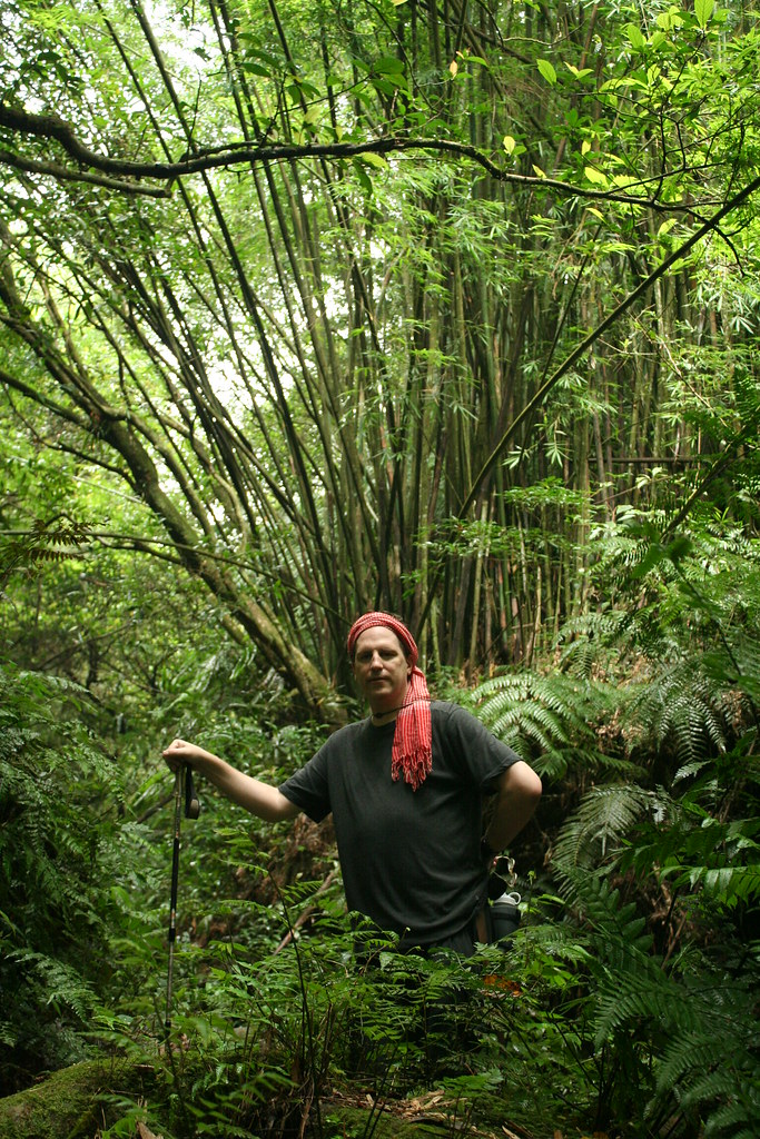
At the confluence (if it can be called that), we headed up the left stream and then began a fast ascent to the ridgeline. It's a 30-minute climb through a lush forest that very few hikers take. Lots of beautiful old bamboo stands left over.

The stream is tiny here and flows through any even tinier canyon. It's perfect river tracing terrain for toddlers (Peter are you listening?).

At the ridge, there is a wide clearing and a junction of trails. Straight down takes you to the Maoking gondola station and Sanxuan Temple where we began. To the right is a splendid 2.5 hour walk to Ergeshan, the highest mountain in the southern foothills that ring Taipei.

We went left. At first we strolled along the ridgetop through open fields. Taipei spread below us and on a clear day like this looks pretty attractive (in general I think the city looks best from the south). In one clearing we could look east to Ergeshan, the last of the rolling summits in this pic:
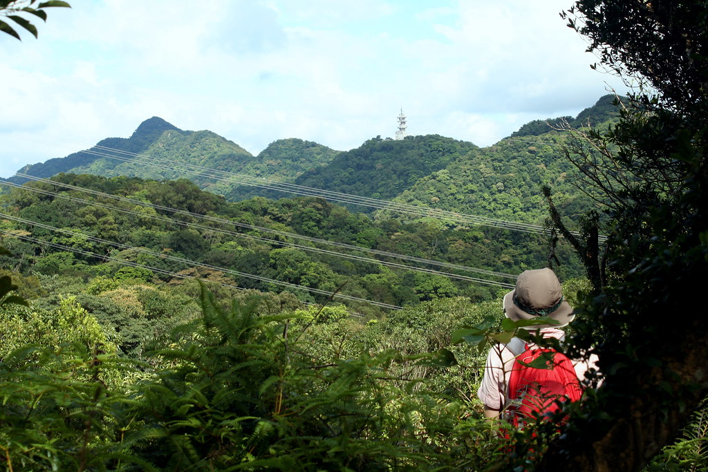

And then it was down the ridge along a narrow trail, hemmed in by ferns and a forest of machilus and acacia.
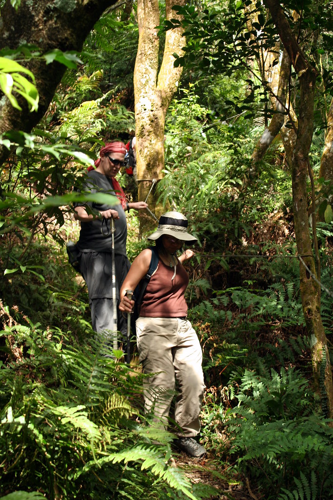

In one dense section of woodland, a pair of black bulbuls (an endemic sub-species) in the trees above warned us away with their terrible squawks. Beautiful if rather territorial creatures. From the birding in Taiwan website:


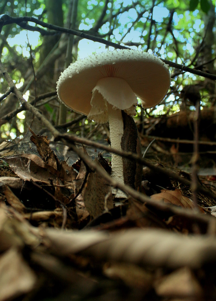
Later, Chris found this wonderful but deadly mushroom. Notice the slug speeding up the side?

The trail eventually led us back to the lowest point of the ridgeline where we had stood a few hours earlier. We skipped back down to the road and on the way to the car (only 1km at this point) stopped in at Xiao Mu Wu (Little Wood House) one of our favorite restaurant-teahouses in Maokong.

We ate dinner and watched the sunset over Taipei.
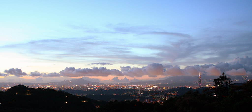

Practicalities:
When the gondola reopens, as it should by the end of 2009, this hike will once again be a natural for anyone looking to get out of the city for a few hours. Just get off the gondola at the last stop (Maokong) and cross the road. Look for a set of stairs kitty corner and follow them up, turning right about 150m along.

This is a hike for all seasons and weather conditions. I particularly love the area on a misty day.

As this is just a hop from my house, the Dutch can get a lift with me by car anytime they visit. Which I hope is soon.

For more on the name Maokong see this article from Tailingua.

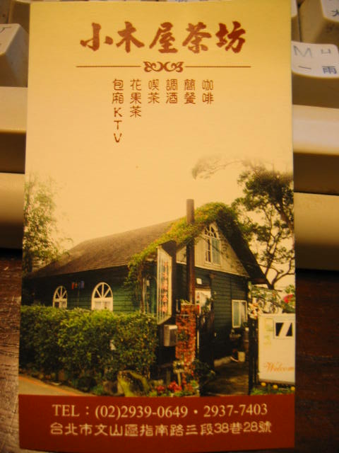
Here's the name card for the restaurant.


Practicalities:

Saturday, October 24, 2009

The Holy Ridge (雪山聖稜線): Days 1-2


Behold this Holy Ridge!" wrote Japanese climber Numai Tetsutaro in 1928. "Who can fully accomplish this climb from Dabajianshan to Syue Mountain? Who can be crowned with the laurel of victory and be the first to tell of the truth and beauty of the journey?

Well, not me obviously (the first recorded climb was 1931), but perhaps I can be the first to tell a wider English speaking audience of the truth and beauty of the journey.

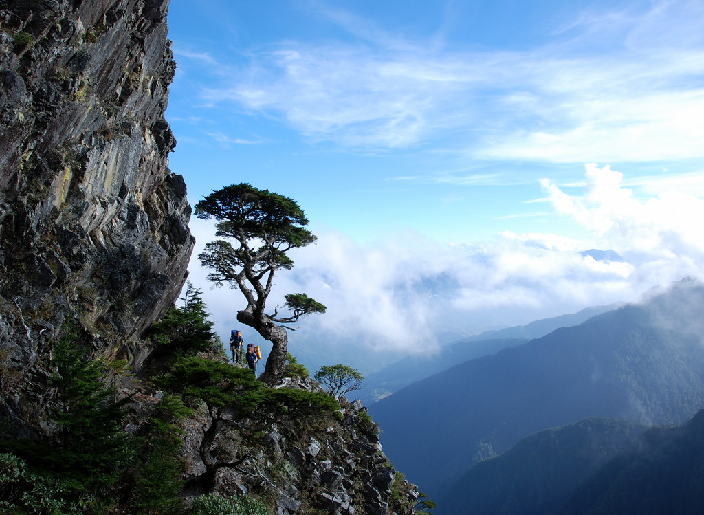
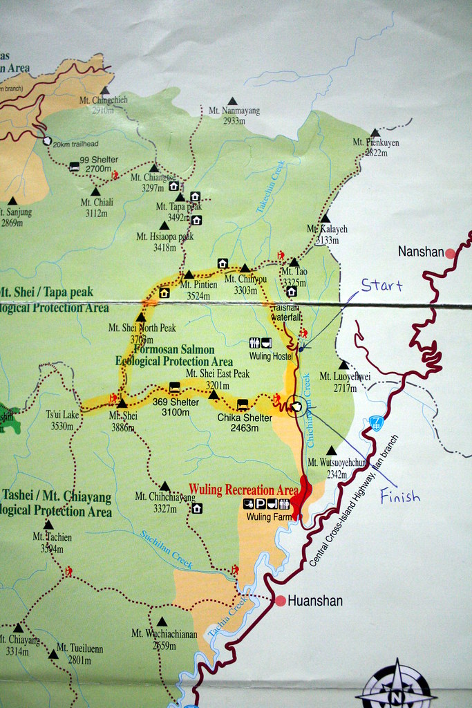
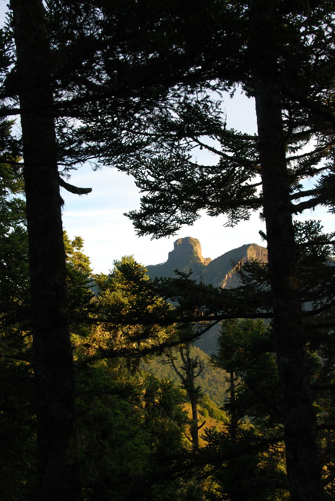
The Holy Ridge stretches, as Tetsutaro wrote, from Syueshan (Snow Mountain; Mt Shei on the map) to the stately rock summit of Dabajianshan, a distance of 15km. The entire route is above 3000m, and literally runs over a very rough, craggy, thin and precipitous ridgeline. The scenery is world class but this is not a hike for the faint-hearted.

The simple map below shows the basic route we took in August 2008. You'll notice we didn't reach Dabajianshan (Mt Tapa on the map) but followed instead the circular route known as the O-xing (O 型). This is a five day journey, with the better part of three days on the Holy Ridge proper. Dabajianshan was closed at the time we did this, but it has since reopened.


Day One:

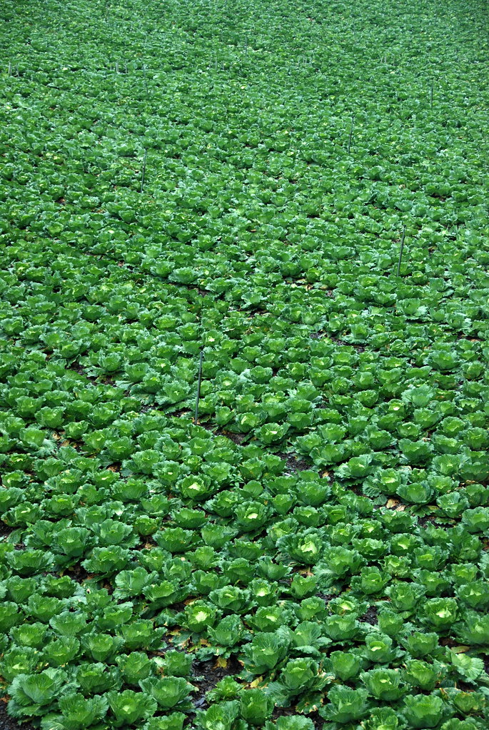
We drove from Taipei out to Ilan County via the 18km Hsueshan Tunnel and then hooked up with the No 7 Highway. The 7 runs up the Lanyang Plain which divides the Snow and Central Mountain ranges. I am told the plain holds the largest cabbage patch in Taiwan.


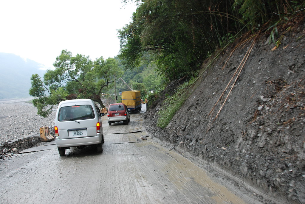
The roads were washed out in places, as is all too common in Taiwan. We had a number of delays waiting for sections to reopen.


If you hike in Taiwan you have to get used to washouts, delays, changes of plans, and even cancellations. As landslide expert Dave Peltey wrote in his excellent blog:

For landslide scientists Taiwan has an almost mythical status, effectively being the nearest thing to a landslide laboratory...the combination of high rates of tectonic uplift, weak rocks, steep slopes, frequent earthquakes and extreme rainfall events renders the landscape highly susceptible to landslides and debris flows. Indeed, Taiwan has almost every type of landslide, although as an aside the number of known ancient rock avalanches remains surprisingly low given the prevailing conditions.

Of course the reason why Taiwan is of interest to landslide scientists is also the reason why it can be a challenging place in which to live. When the World Bank reported in 2005 on its "Disaster Hotspots" study it noted that "Taiwan may be the place on Earth most vulnerable to natural hazards, with 73 percent of its land and population exposed to three or more hazards.

Yikes!

Day Two:

We set out from Wuling Villa (a rough hostel run by the national park; note it's marked Wuling Hostel on the map) around 7.30am. It was dry and cool, an ideal 15 degrees. Our starting altitude was around 1800m: we would climb to 3300m by evening.


Richard and I were in fine spirits as we began along the first stretch of trail, a tarmac covered path to Taoshan Waterfall. About 1.5 hours up, the trail branched at a clear sign and we left the pavement for the path proper.

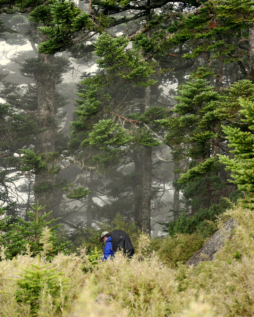
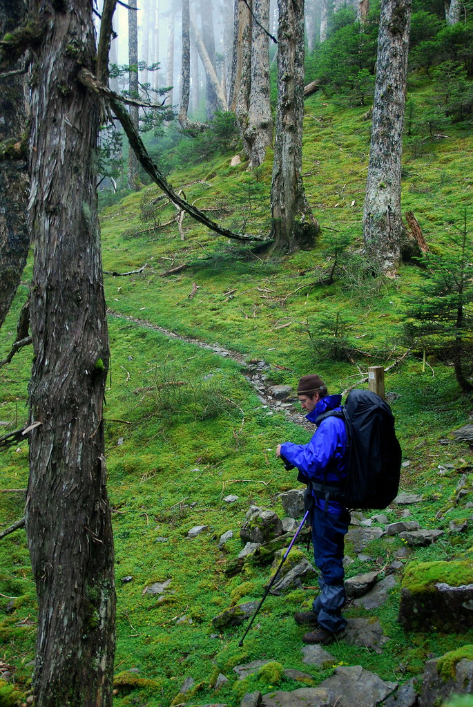
From the turnoff the trail began an uphill climb through a forest of thin fir and pine. There were no open views at first. Around the 2km mark the trail became fringed with Yushan cane, a type of tough yellow bamboo that seemed to hold moisture like a sponge. When the trail narrowed it was like walking past the brushers at a car wash. We emerged clean but soaked to the skin.

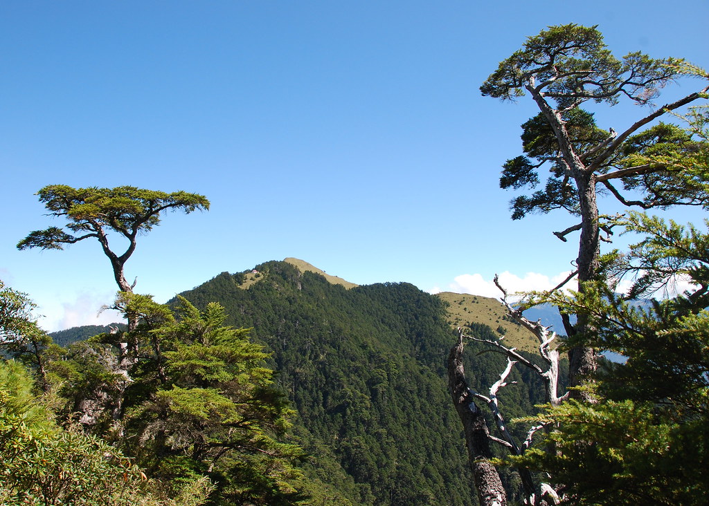
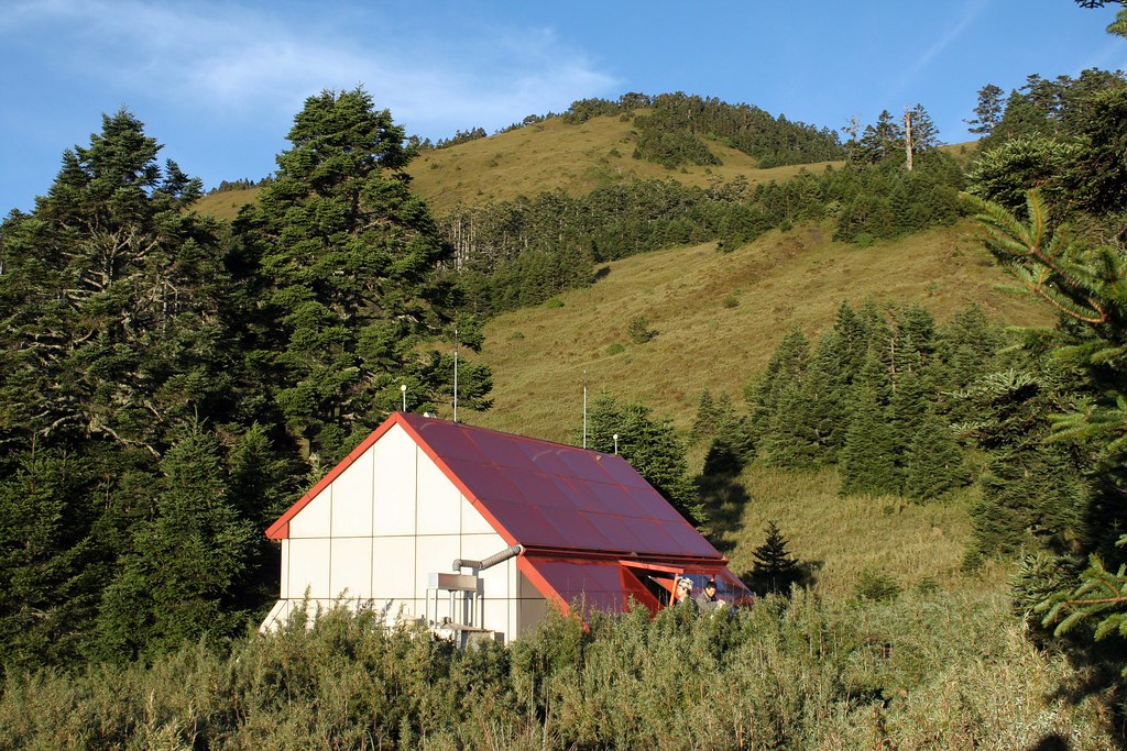
Also at the 2km mark the rounded mustard colored peak of Taoshan became visible across a pretty open meadow. Hikers should note that Taoshan (桃山; 3325m) is a great alternative to the (often busy) climb up Snow Mountain as it can be reached in a day, and offers some splendid views of the Holy Ridge from a cabin in a large clearing. The cabin (way in the distance):


The view:


We met some hikers who had overnighted in Taoshan and completed what are known as the Wuling-Quadruple (武陵四秀), four peaks above 3000m in the northern section of Shei-Pa National Park. The peaks are: Taoshan (桃山; 3325m), Pintianshan (品田山; 3524m), Chryou Shan (池有山; 3303m), and Kaleyah Shan (喀拉業山; 3113m). The group was full of praise for the hike, but didn't talk for very long as they were in a hurry to get back to Wuling and dry clothes.

It started to rain lightly on us as we neared the fork in the trail at Sancha Campground (三叉營地). But we were already sopping wet from brushing against the cane so there was not much do do but make note of the change of weather. After a long lunch in section of flat camp, we pushed on around 3pm to the ridge. Here, we turned west and for the next few days would never drop below 3000m nor leave the ridgeline.

We soon climbed over Chryou Shan and a rough stretch of black crags and barefaced cliffs on a trail that was more root and rock than ground. We entered a hemlock forest shrouded in fog and for the world it was like walking in a southern Soong landscape.


Another 2 hours and we reached Sinda cabin (新達山屋) sitting in a high alpine meadow dotted with grassy ponds. The pond water can serve as drinking water in an emergency, however the cabin's tanks are usually full. To preserve the pond water quality the cabin has an eco-toilet in the back.


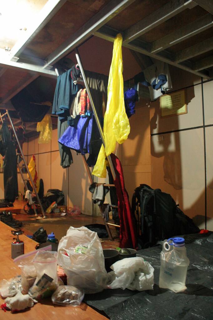
I was a little chilled when we arrived, and my fingers and toes were wrinkled like I had been in a bath for too long. Inside was warm and dry, and we found we had to share the space with only three other hikers.


And a weasel.


Click here for Days 3-4.

The Holy Ridge (雪山聖稜線): Days 3-4


Day Three:

The weasel was an unwelcome bedfellow, but as such fellows are, tough to toss out. He had gnawed holes in the lower walls and could come and go as he pleased. Oddly he seemed to prefer Richard to me and had a real liking for the Irishman's nose and wooly cap.

We were up at 5.30am to watch the sunrise. Another clear, crisp morning that would soon fog in. But we enjoyed it while we could.


We left the cabin at 7.30am. As always the first length of trail was straight up as we began to the climb to Pintianshan at 3524m. Cane overgrew the path but the hikers we had shared the cabin with had gone first and shaken the dew off.

The views as we climbed higher were stupendous. That's Chiyoushan in the background.


As we reached top of the meadow the fog was already rolling in. For the next few hours we hiked through a marshy landscape of yellow cane and dark Taiwan firs with blue-grey cones hanging plump on the branches.


The cane soaked us once more and my feet got very wet trudging around Pintian Pond.

As we approached Pintianshan we got our first taste of the dangers that would lie ahead. Can you see the hiker on the other side of this pic?


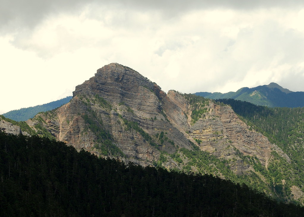
The top of Pintianshan is surprisingly flat considering it looks like a massive frenchman's cap from the distance. The amazing folds are known as "box folds" in geology.


The back side drops violently in a broken face of shale and sandstone wedges. Getting off the peak was one nerve-racking climb after another. Like descending a series of giant loose steps.


But then the descents and climbs continued as we had to pass over Bushoulan Mountain (布秀蘭山; 3438m) and then the massive stone upthrust that is Sumida (素密達山; 3517m).


The crossroads: east to Pintianshan, south to Snow, north to Dabajianshan:


After the hairiest descent (several hours later) we entered a beautiful fir forest with a deep green carpeting of grass.


Some twenty minutes later we reached Sumida cabin. It was 5pm and we were exhausted from the physical exertion of hiking all day in challenging conditions and the adrenalin of climbing down multiple sheer rock faces with bulky packs.


My feet again looked like they have been in water too long.

Day Four:

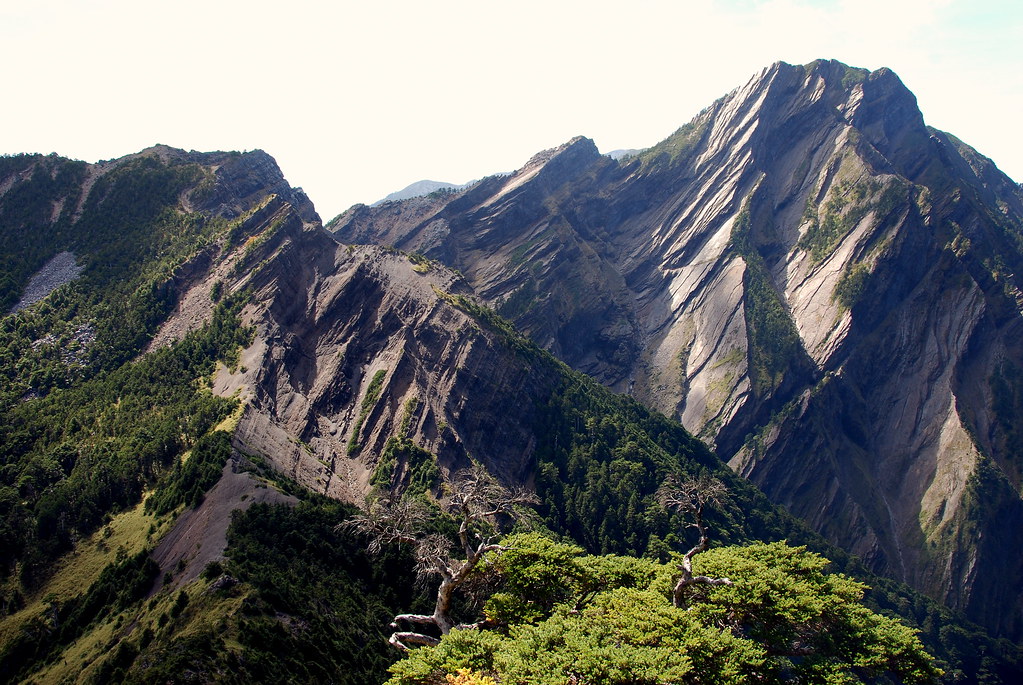
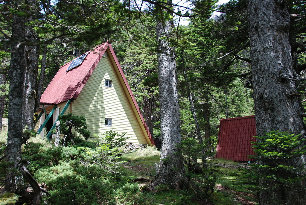
My favorite day. Steep cliffs, hairy climbs, hours trudging over crag and col, exposed on both sides to precipitous drops. For eye-candy there was the awesome Dragon's spine, the sublime North Face, epic panorama's, a textbook perfect glacial cirque, and an A-frame cabin nestled in a centuries old Juniper forest.

We left Sumida cabin around 11.20am. We had woken much earlier but Richard was suffering from malaise, and needed to rest for a while. We had to skip a climb up nearby Mutelebu Mountain. According to Richard, who climbed it on another hike last year, it is well worth it. The views are wide and inspiring.

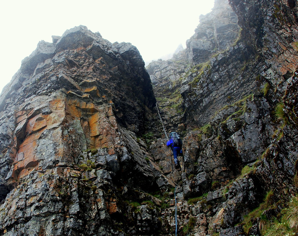
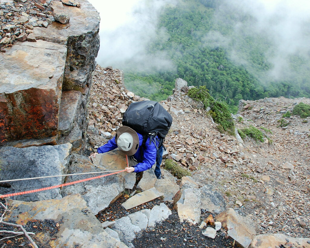
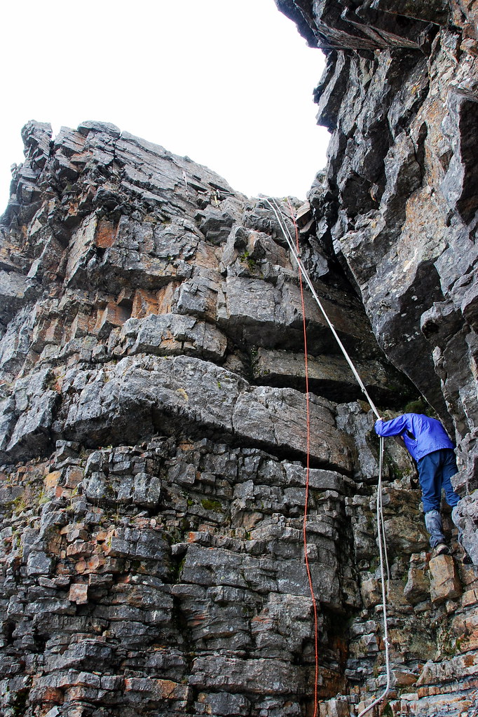
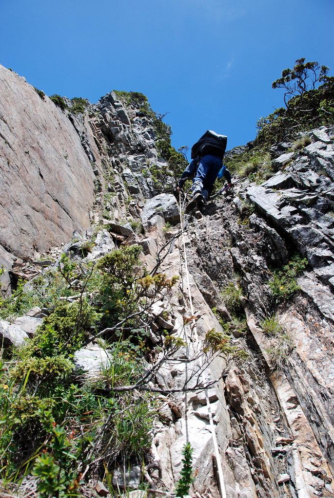
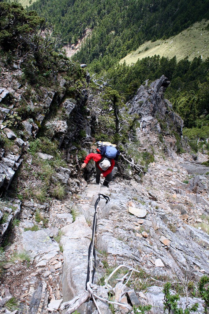
As always it was a straight climb away from cabin followed by several long rope climbs and a long, long scramble down a deep ravine.


All in all it was about one hour of rough climbs up and down with fixed ropes.

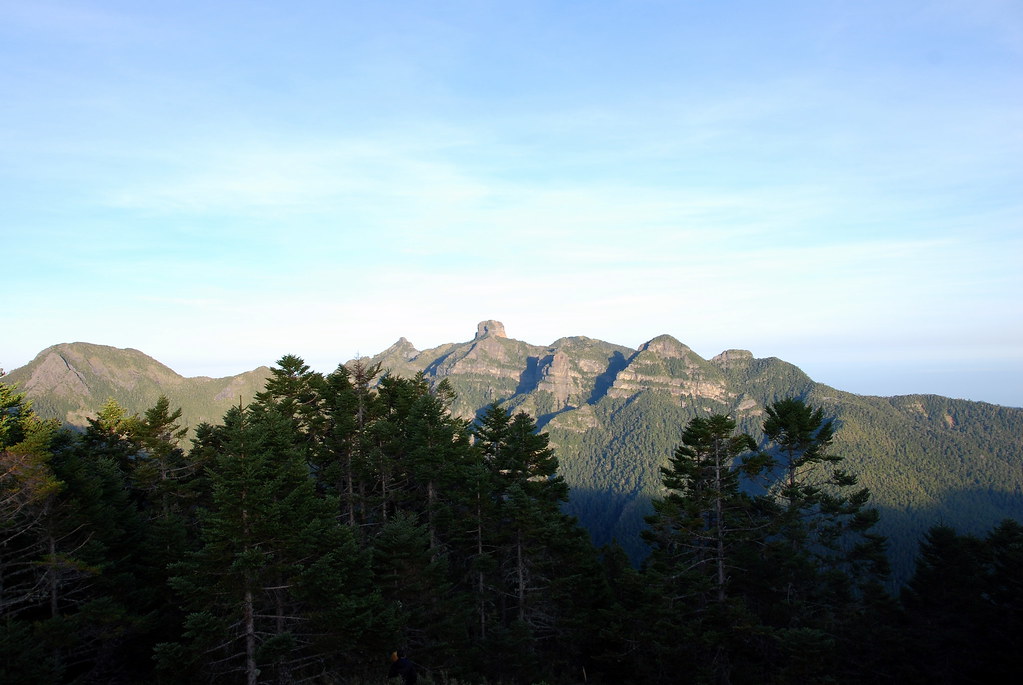
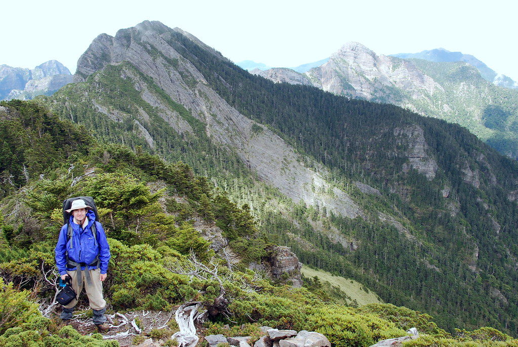
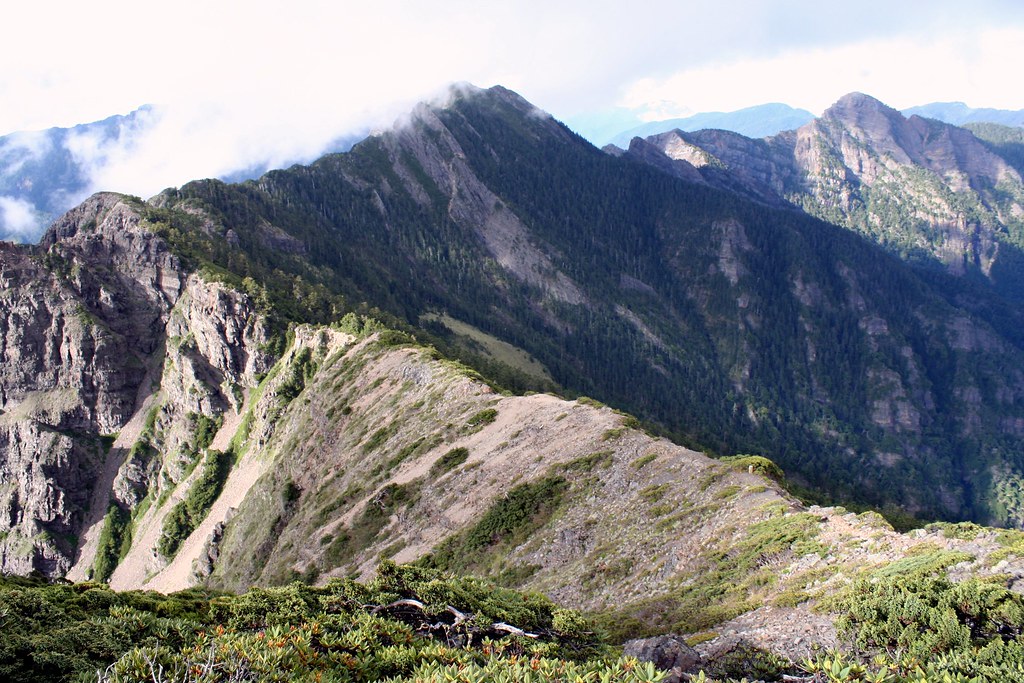
After the last rope descent it was another four hours humping over the contours of ridgeline. We averaged about 3300m in altitude, and when the fog cleared we could see the entire sweeping broken outline of the Holy Ridge: from Dabajianshan south to Snow Mountain (including the little yellow mound of the east peak) and east to Taoshan.


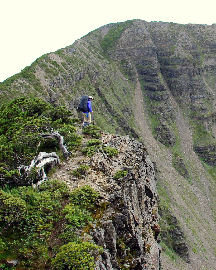
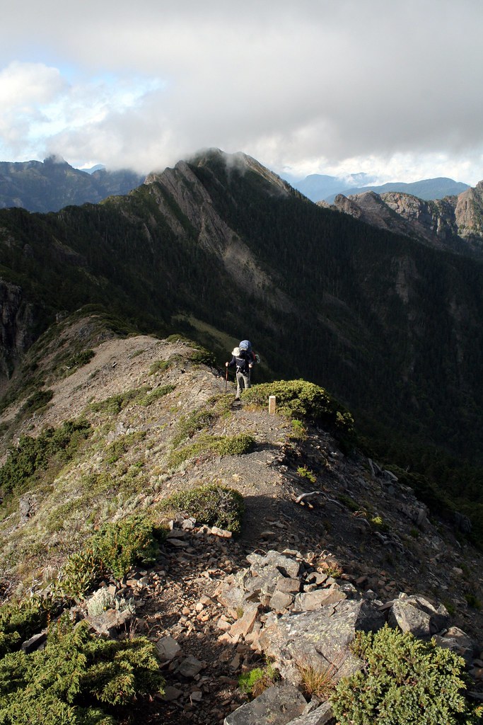
The trail at times was no more than a foot wide, with a small barrier of rhodendron shrubs and low alpine junipers guarding the drop 1000m meters to the Qijiawan Valley to our east. The west side was often more crumbling cliff face than slope.

I probably shouldn't have stood so close to the edge here:


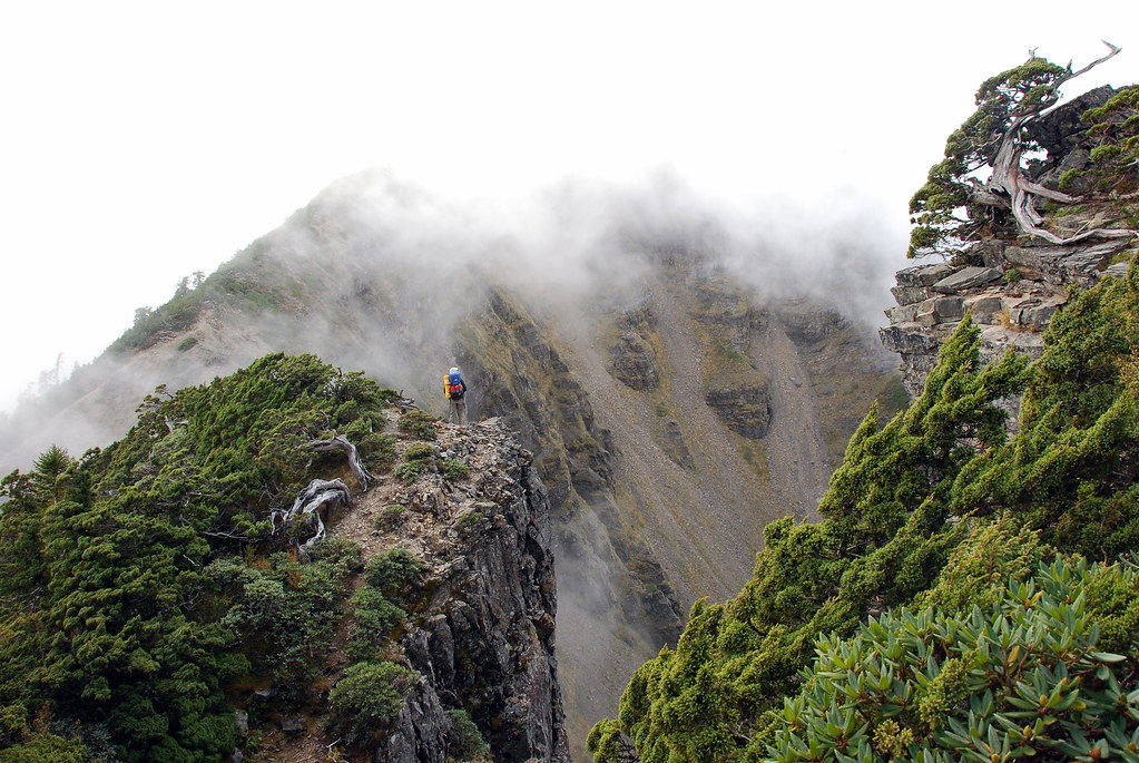
Nor should Richard:


The final crossing before the side path up to the North Peak is called the Dragon's Spine. It's a suitably awesome name for a rather frighteningly exposed and thin causeway. There isn't much between you and oblivion, and every gust of wind is met with a twinge of anxiety.


After crossing the spine, we clamored up to the North Peak (3703m). It was 4.30pm.

We rested at the top for some time, taking in the views of every major peak in the region, and admiring the way the fog, sweeping up from the west, could blanket us one moment, and then disperse as quickly. It was truly one of the most enjoyable alpine experiences I have ever had.

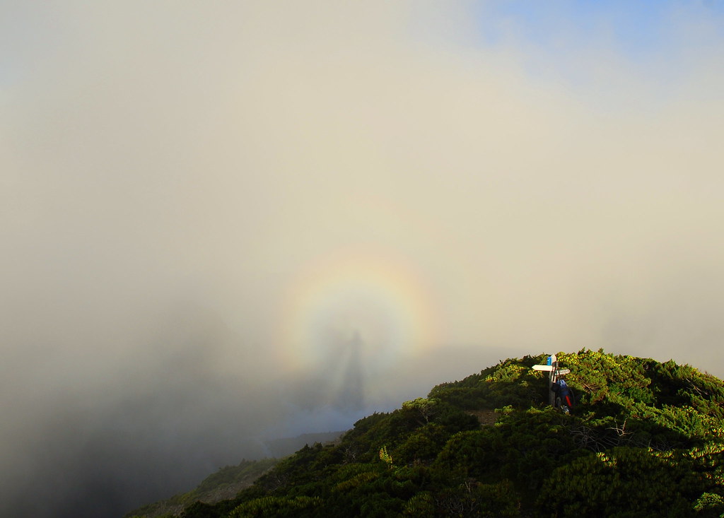
A surreal Buddha's Halo, or Broken Spectre, greeted us on the way down the North Peak. As I have written elsewhere, a Brocken Spectre is light phenomenon which enables you to see your shadow in a wall of fog in the distance with a rainbow or colored aura around it.

The Brocken, also called Blocksberg, is the highest peak (3,747ft, 1,142m) in the Harz mountains. This range is eight miles southwest of Wernigerode, Germany.

The Brocken Spectre, also called the Brocken Bow or Glory Ring, is produced by a low sun, casting silhouettes on the fog surrounding the mountain peak. Often these shadows have rings of light surrounding them (due to moisture in the air) which are similar to auras. This phenomena has given the Brocken a mystical significance in German folklore.

Due to magic connotations and stories surrounding the Brocken, witches began to celebrate the sabbath (April 30/ May 1st) midnight rituals there. The mountain even has a witches’ altar and devil's pulpit.

Descendants of the Brocken are known to have a sixth sense. They also possess the ability to feel poltergeists and perceive emotions in others. Equally sensitive to their powers, most are quiet about these abilities.

Goethe also made a trek to the Brocken in 1777 and the trail he took is now a tourist attraction. There is also a scene in Faust that occurs on the Brocken.


By 5.30pm we were making our descent to the north peak cabin, tucked into a sheltered juniper forest on a fairly wide and flat shelf on the east side of the ridge. It's only about 20 minutes from the peak to the cabin so it's also possible to just push on and then return to the North Peak later without your pack.

We had the cabin to ourselves again that night.


Click here for Days 5-6.