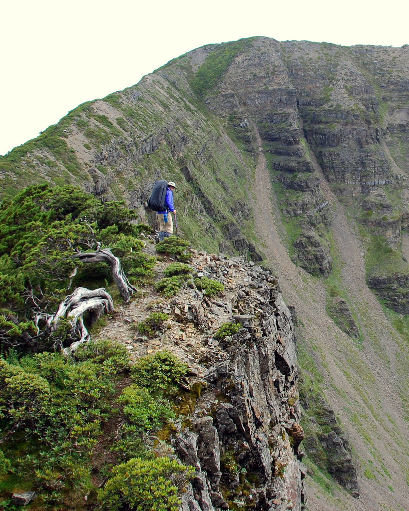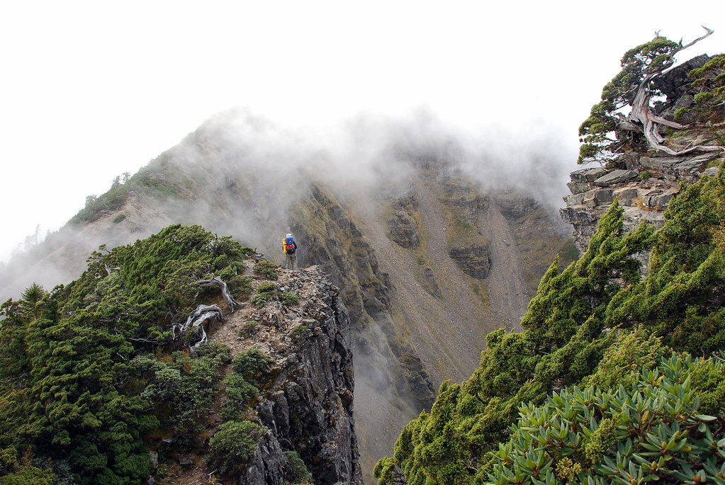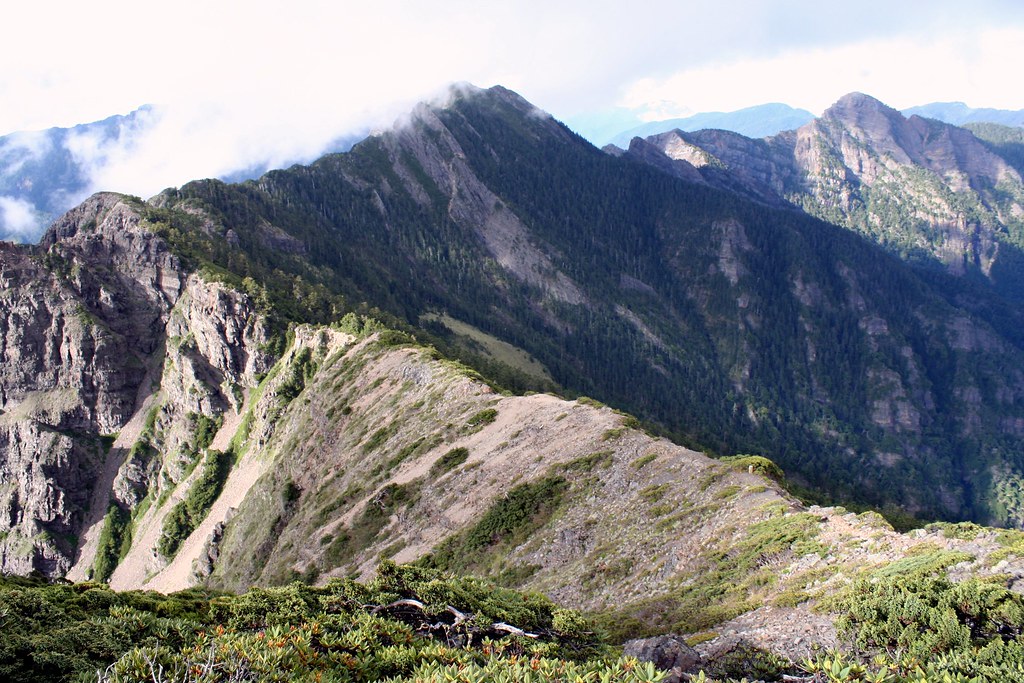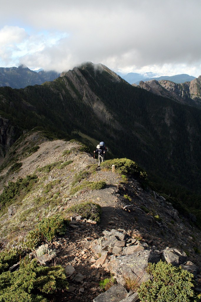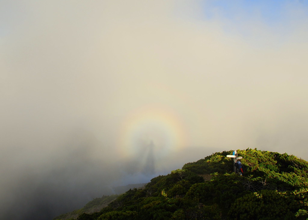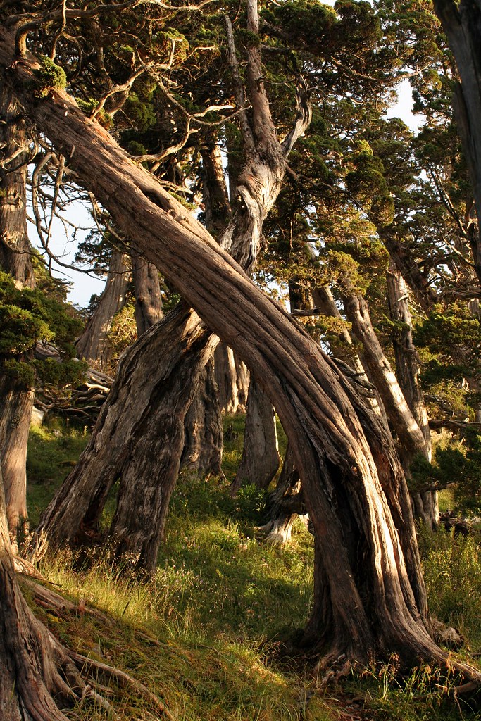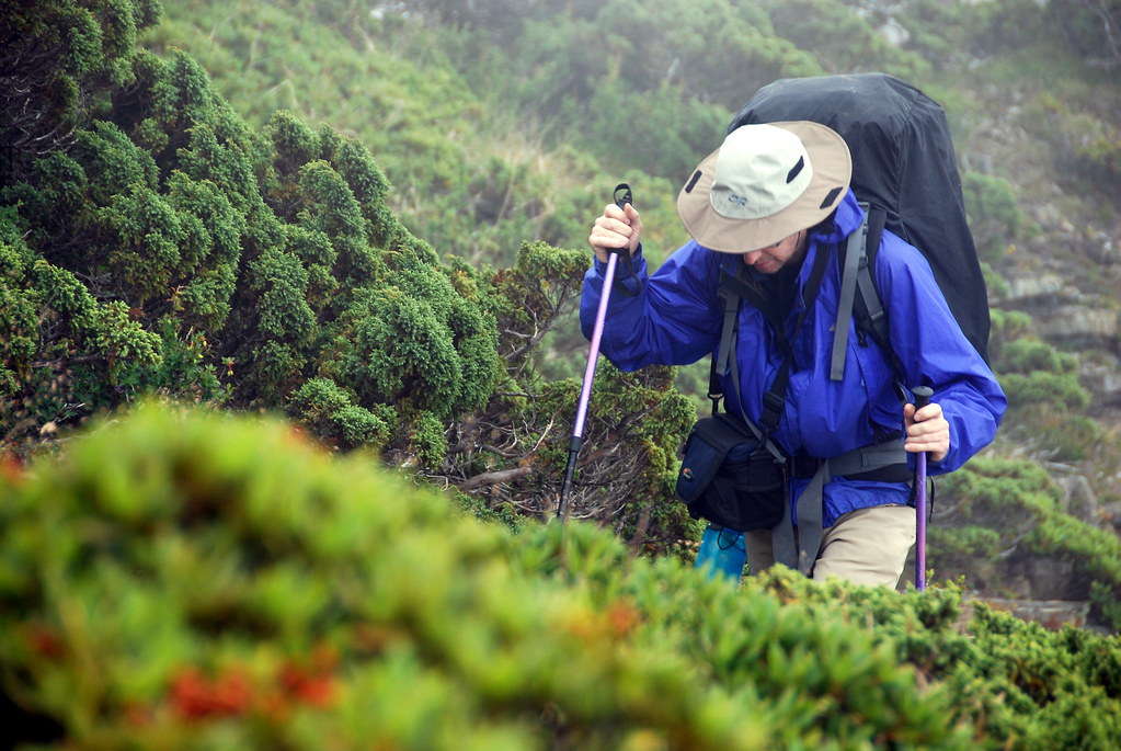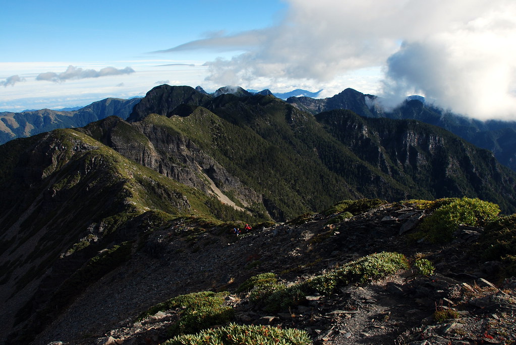
Behold this Holy Ridge!" wrote Japanese climber Numai Tetsutaro in 1928. "Who can fully accomplish this climb from Dabajianshan to Syue Mountain? Who can be crowned with the laurel of victory and be the first to tell of the truth and beauty of the journey?
Well, not me obviously (the first recorded climb was 1931), but perhaps I can be the first to tell a wider English speaking audience of the truth and beauty of the journey.
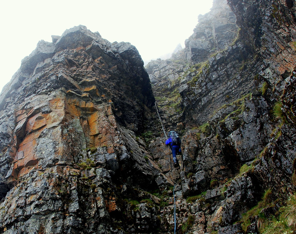
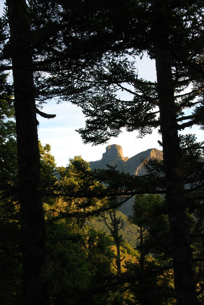
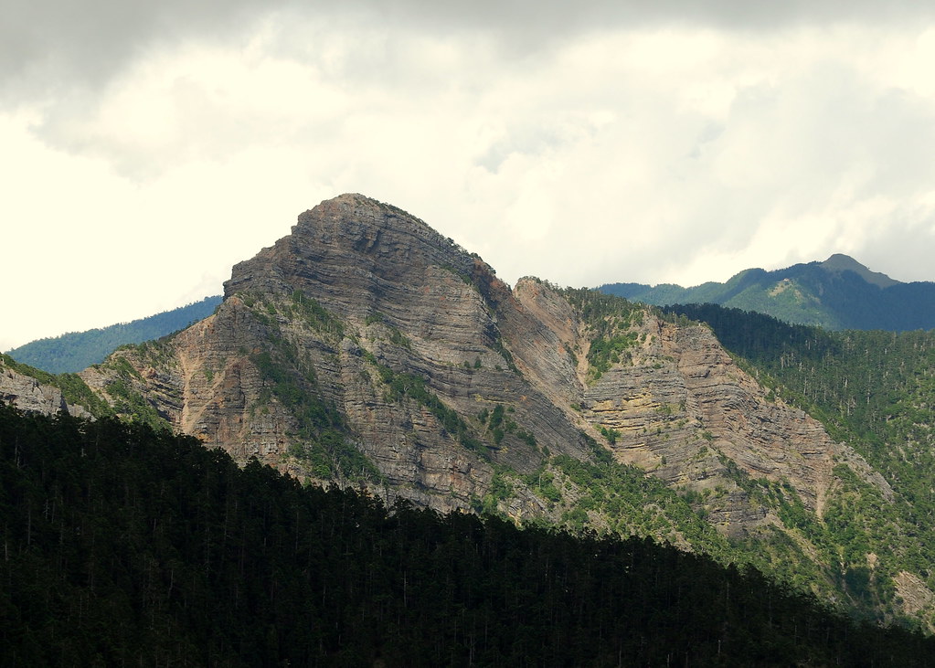
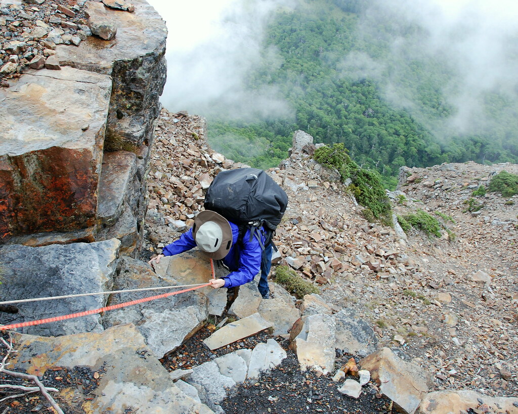
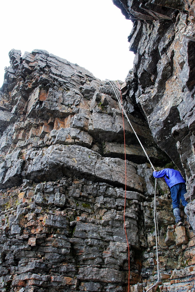
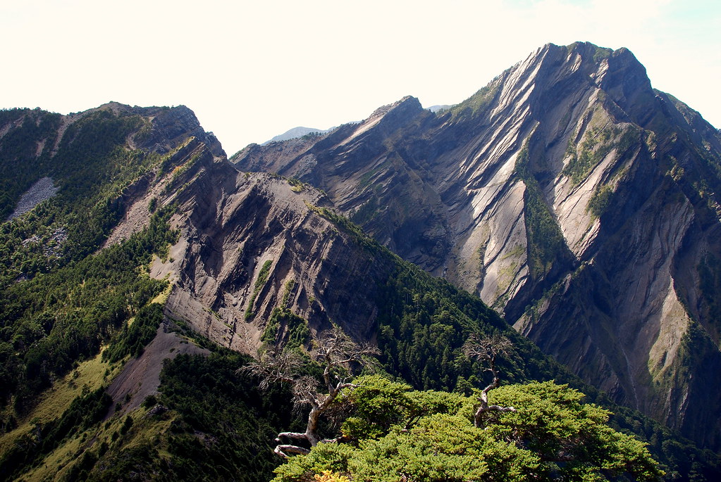
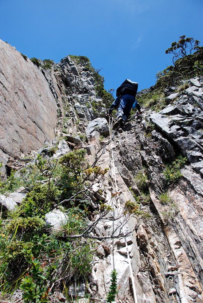
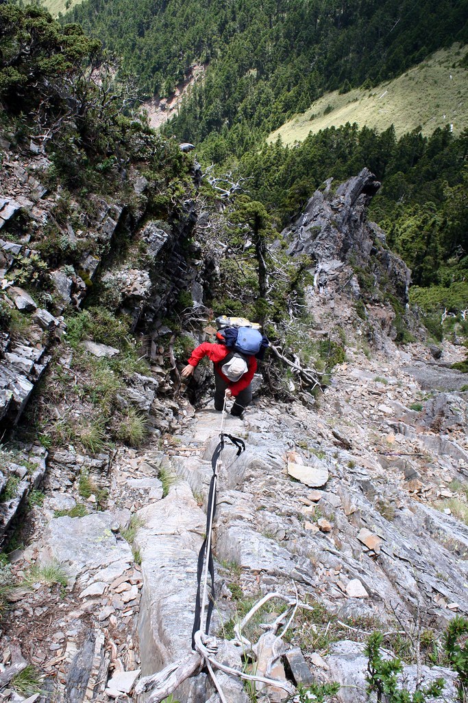
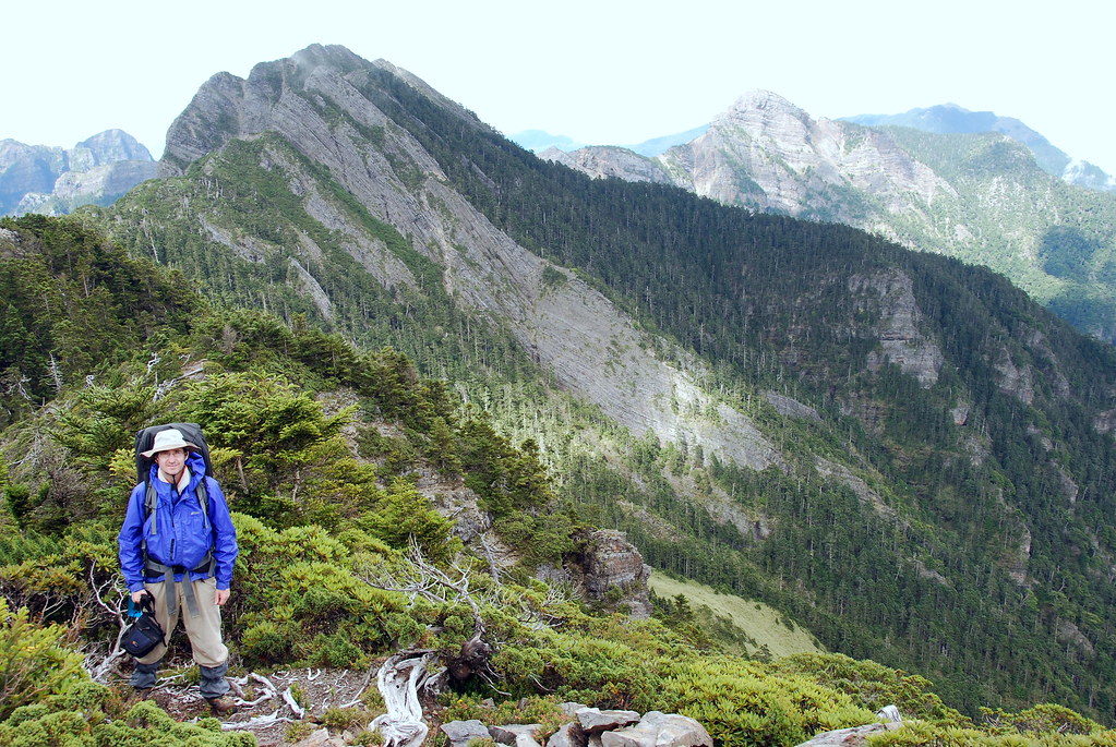
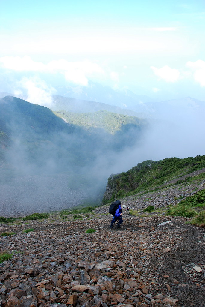
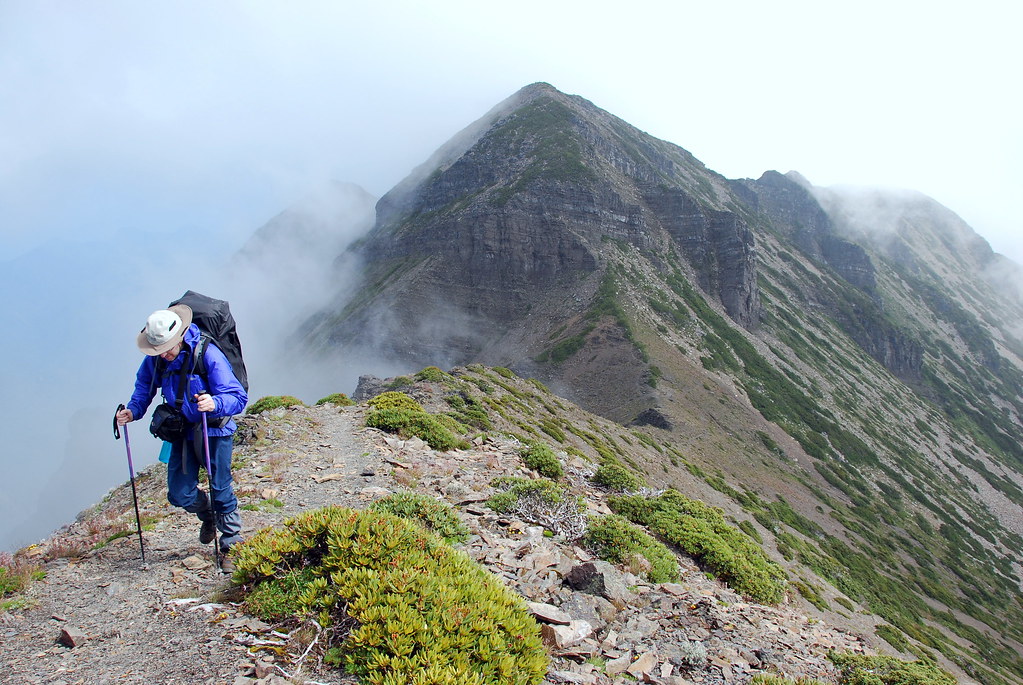
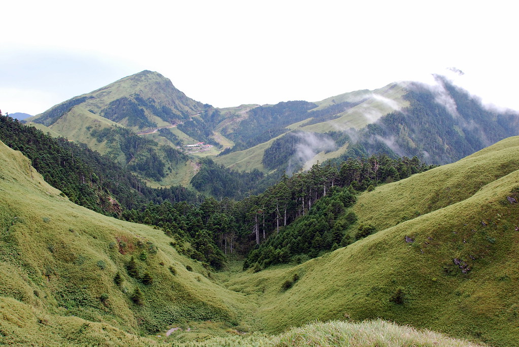
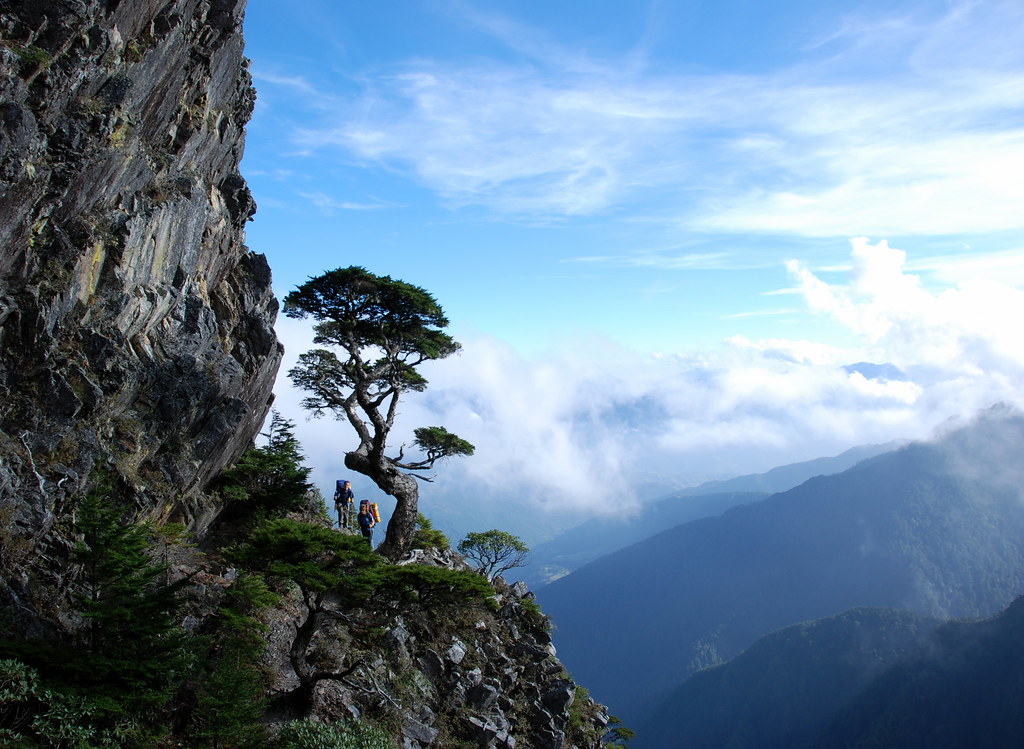
The Holy Ridge stretches, as Tetsutaro wrote, from Syueshan (Snow Mountain; Mt Shei on the map) to the stately rock summit of Dabajianshan, a distance of 15km. The entire route is above 3000m, and literally runs over a very rough, craggy, thin and precipitous ridgeline. The scenery is world class but this is not a hike for the faint-hearted.
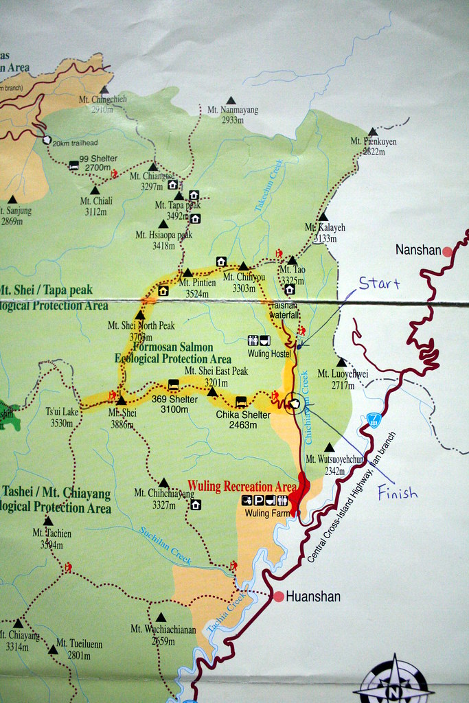
The simple map below shows the basic route we took in August 2008. You'll notice we didn't reach Dabajianshan (Mt Tapa on the map) but followed instead the circular route known as the O-xing (O 型). This is a five day journey, with the better part of three days on the Holy Ridge proper. Dabajianshan was closed at the time we did this, but it has since reopened.
Day One:
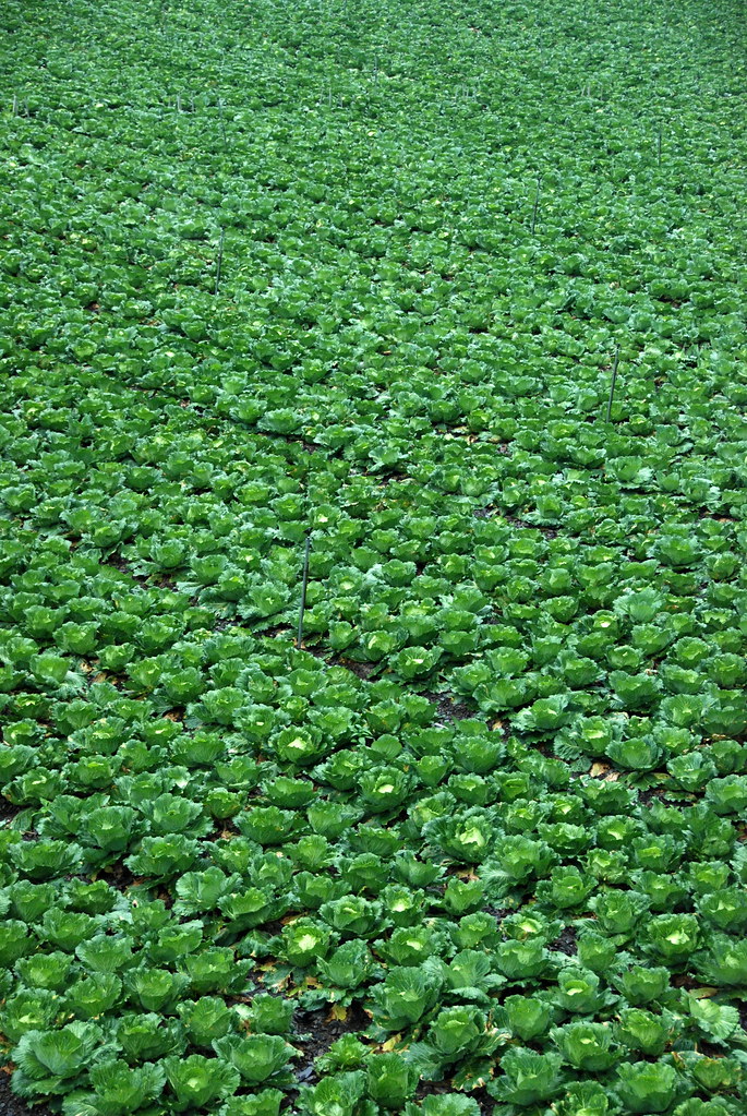
We drove from Taipei out to Ilan County via the 18km Hsueshan Tunnel and then hooked up with the No 7 Highway. The 7 runs up the Lanyang Plain which divides the Snow and Central Mountain ranges. I am told the plain holds the largest cabbage patch in Taiwan.
The roads were washed out in places, as is all too common in Taiwan. We had a number of delays waiting for sections to reopen.
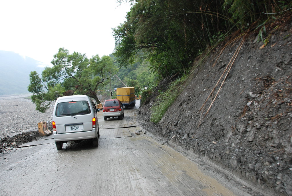
If you hike in Taiwan you have to get used to washouts, delays, changes of plans, and even cancellations. As landslide expert Dave Peltey wrote in his excellent blog:
For landslide scientists Taiwan has an almost mythical status, effectively being the nearest thing to a landslide laboratory...the combination of high rates of tectonic uplift, weak rocks, steep slopes, frequent earthquakes and extreme rainfall events renders the landscape highly susceptible to landslides and debris flows. Indeed, Taiwan has almost every type of landslide, although as an aside the number of known ancient rock avalanches remains surprisingly low given the prevailing conditions.
Of course the reason why Taiwan is of interest to landslide scientists is also the reason why it can be a challenging place in which to live. When the World Bank reported in 2005 on its "Disaster Hotspots" study it noted that "Taiwan may be the place on Earth most vulnerable to natural hazards, with 73 percent of its land and population exposed to three or more hazards.
Yikes!
Day Two:
We set out from Wuling Villa (a rough hostel run by the national park; note it's marked Wuling Hostel on the map) around 7.30am. It was dry and cool, an ideal 15 degrees. Our starting altitude was around 1800m: we would climb to 3300m by evening.
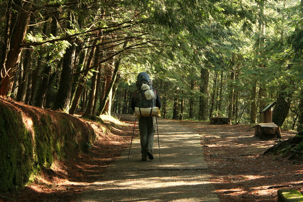
Richard and I were in fine spirits as we began along the first stretch of trail, a tarmac covered path to Taoshan Waterfall. About 1.5 hours up, the trail branched at a clear sign and we left the pavement for the path proper.
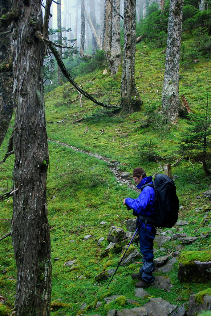
From the turnoff the trail began an uphill climb through a forest of thin fir and pine. There were no open views at first. Around the 2km mark the trail became fringed with Yushan cane, a type of tough yellow bamboo that seemed to hold moisture like a sponge. When the trail narrowed it was like walking past the brushers at a car wash. We emerged clean but soaked to the skin.
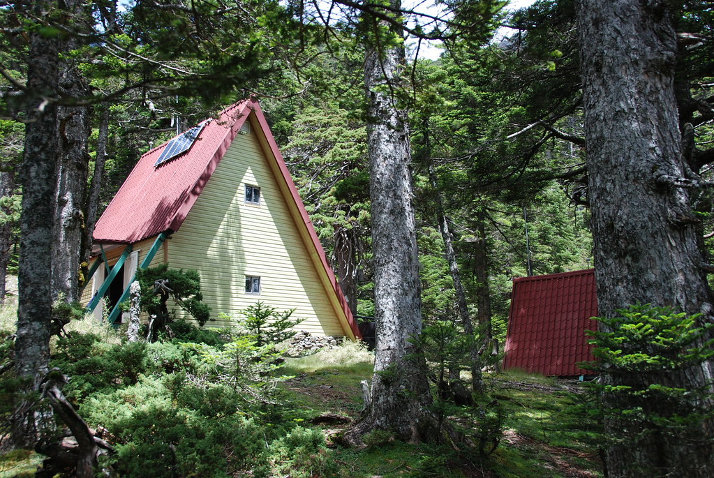
Also at the 2km mark the rounded mustard colored peak of Taoshan became visible across a pretty open meadow. Hikers should note that Taoshan (桃山; 3325m) is a great alternative to the (often busy) climb up Snow Mountain as it can be reached in a day, and offers some splendid views of the Holy Ridge from a cabin in a large clearing. The cabin (way in the distance):
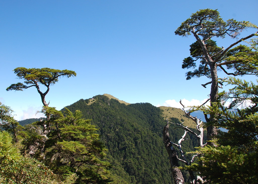
The view:
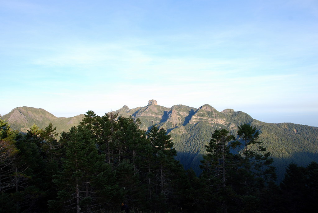
We met some hikers who had overnighted in Taoshan and completed what are known as the Wuling-Quadruple (武陵四秀), four peaks above 3000m in the northern section of Shei-Pa National Park. The peaks are: Taoshan (桃山; 3325m), Pintianshan (品田山; 3524m), Chryou Shan (池有山; 3303m), and Kaleyah Shan (喀拉業山; 3113m). The group was full of praise for the hike, but didn't talk for very long as they were in a hurry to get back to Wuling and dry clothes.
It started to rain lightly on us as we neared the fork in the trail at Sancha Campground (三叉營地). But we were already sopping wet from brushing against the cane so there was not much do do but make note of the change of weather. After a long lunch in section of flat camp, we pushed on around 3pm to the ridge. Here, we turned west and for the next few days would never drop below 3000m nor leave the ridgeline.
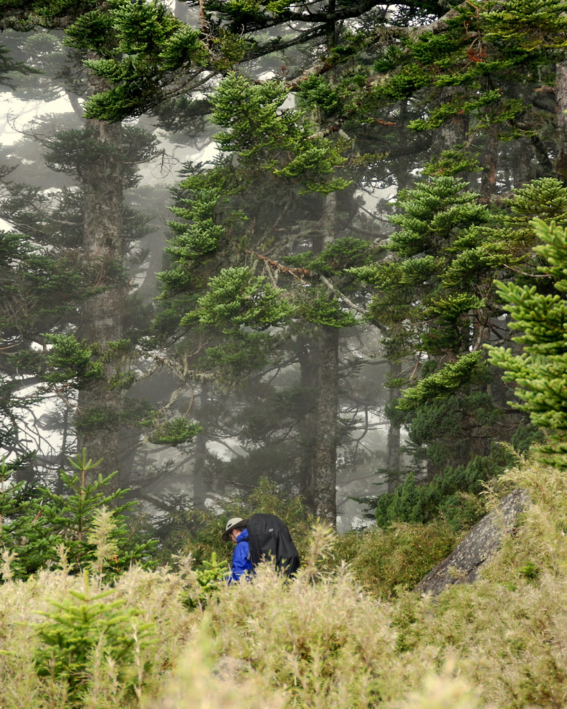
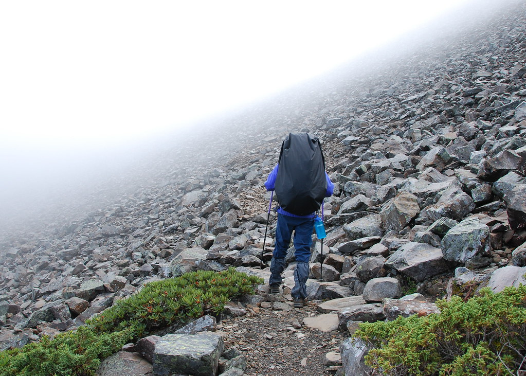
We soon climbed over Chryou Shan and a rough stretch of black crags and barefaced cliffs on a trail that was more root and rock than ground. We entered a hemlock forest shrouded in fog and for the world it was like walking in a southern Soong landscape.
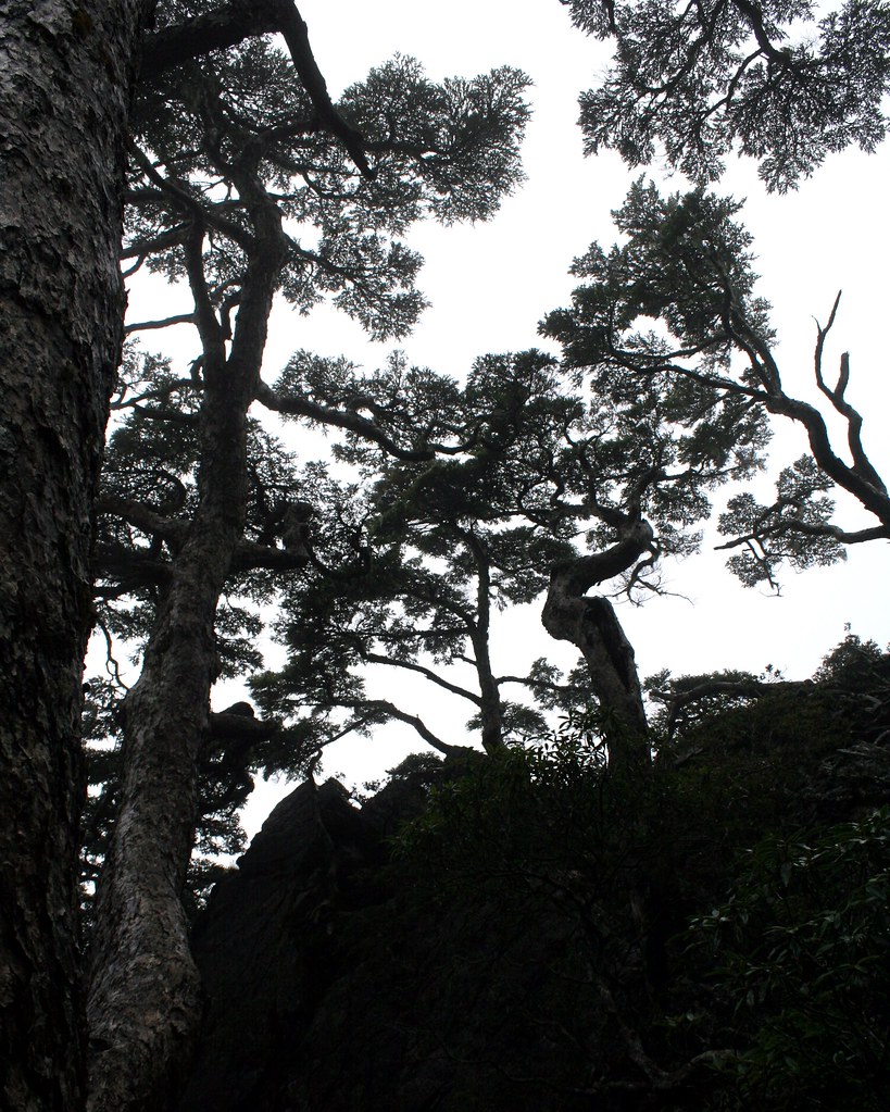
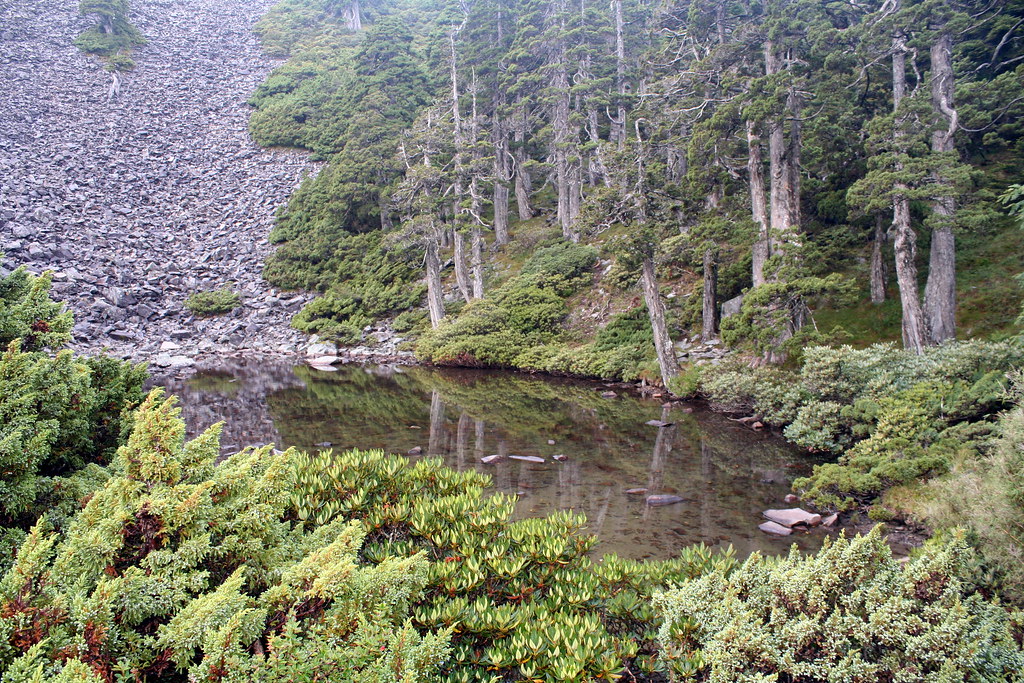
Another 2 hours and we reached Sinda cabin (新達山屋) sitting in a high alpine meadow dotted with grassy ponds. The pond water can serve as drinking water in an emergency, however the cabin's tanks are usually full. To preserve the pond water quality the cabin has an eco-toilet in the back.
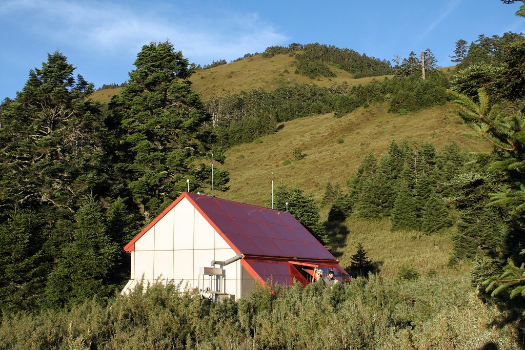
I was a little chilled when we arrived, and my fingers and toes were wrinkled like I had been in a bath for too long. Inside was warm and dry, and we found we had to share the space with only three other hikers.
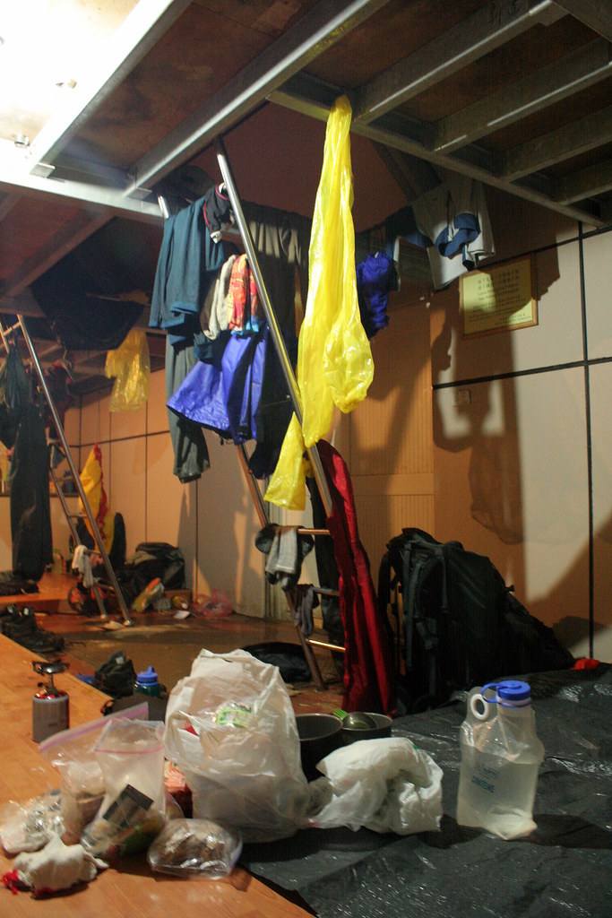
And a weasel.

Click here for Days 3-4.