We’re up early again, but have an easy day ahead so again we take our time at breakfast.
There is a young couple in their 20s who are also sharing the cabin with us and the older Taiwanese. We discover that they have again abandoned their plans to hike the Mabolashi Trail.
The Mabolashi is another week-long trek that breaks from the Batongguan here at Jhongyang Cabin. It’s a much rougher route and the couple, finding themselves the only one’s on the trail and in the cabins, had gotten a little spooked. They decided to return to Dongpu but on the way back met a team heading up who were also planning to tackle the Mabolashi. Well, why not give it another try, the decided. But after a good night’s sleep they choose once more not to continue.
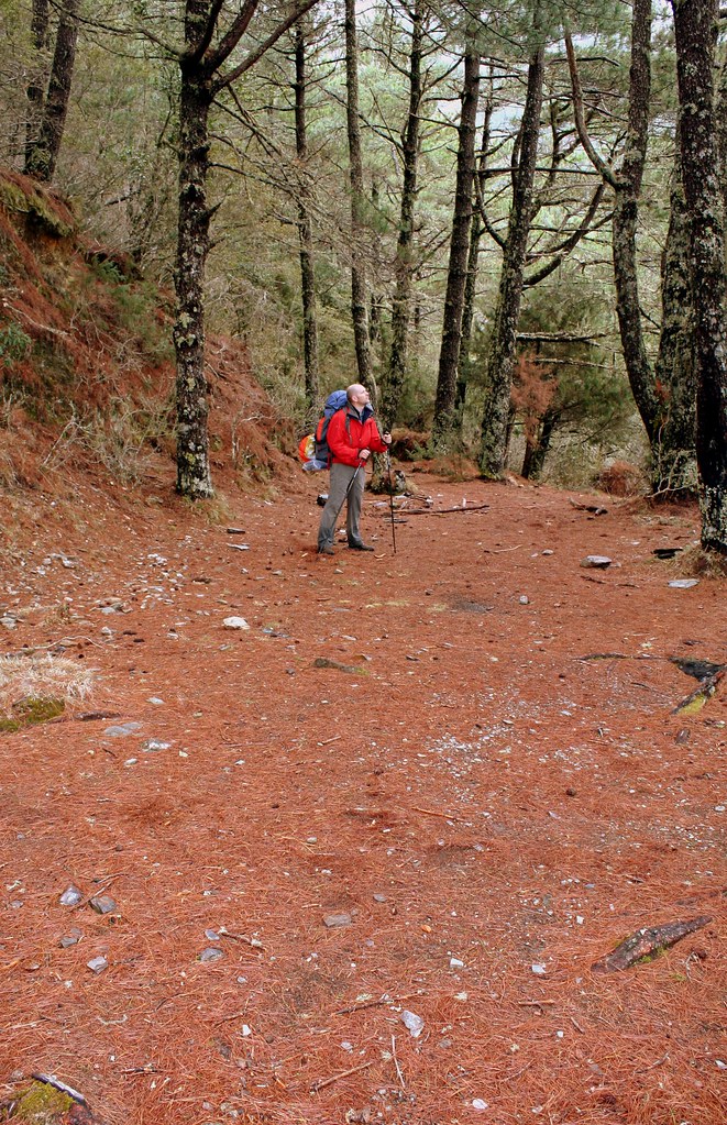
We head out about 8am. My pack is several kilos lighter now (each day I lose at least 1kg of food) and I truly appreciate the reduced load. I notice patches of blue sky above and a fast moving, high cloud level above, and feel grateful for this also.
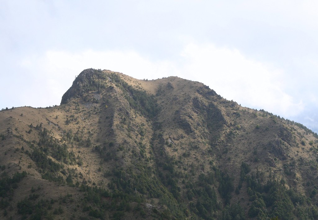
The trail today starts out with a steep climb up a narrow cane lined trail to the top of a ridge before dropping back down into the valley. It then climbs up a sloping meadow of blooming rhododendrons and azaleas with clear views west across a deep valley.
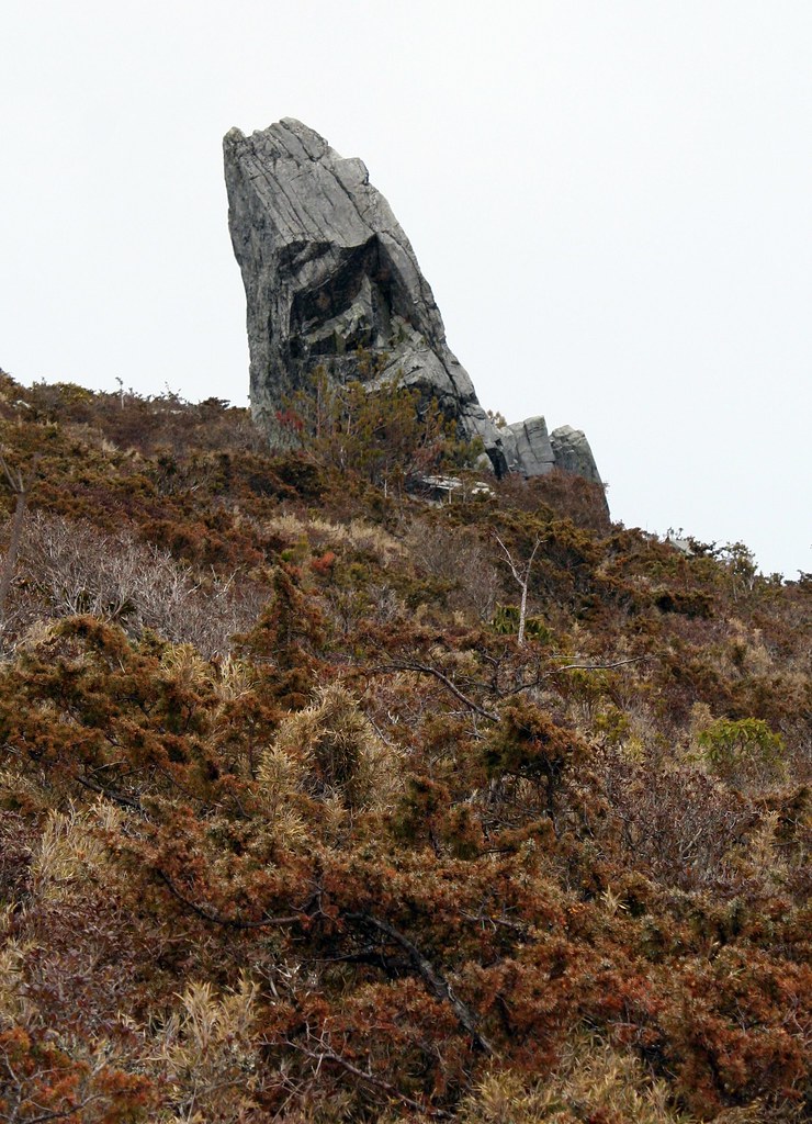
There are many landslides in the area, and some tricky sections that need to be crossed with ropes.

Collectively I’d say our spirits are the best they’ve been as the weather is warm and dry, and we have the first blue skies since the trip began. Yushan to the west is still obscured by clouds, but we are in high rugged terrain, blessed with outstanding lookouts. No one has a bad word to say.
We stop at one such lookout for lunch. The trail bends 90 degrees here and on a dry terraced knoll rising back toward a high crumbling cliff face, the immensity of the Yushan Range unfolds before us.
The 3000m+ peaks of Tafenjianshan and Yunfeng (Cloud Peak) are closest to us and most visible across the valley. When the fog shifts we can see Batongguan Shan and the meadows. As at Batongguan, we watch the rolling fog get split by peaks and reform as it sweeps into the valleys.
We take advantage of the warm weather to dry off our clothes.
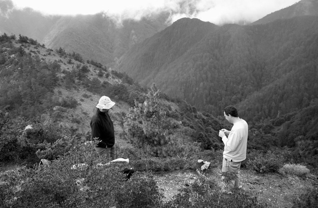
Just as we set off after lunch we see to the south on the col of the Nan Dashuikushan ridgeline a gaggle of hikers. We won’t be alone tonight at the cabin, we think, though this makes us take note that we have not seen anyone else on the trail all day.
We proceed through more red pine forest, and pass some old police stations at Dijuan and Nan Campground. There’s little left at either but some old stone walls, broken bits of ceramic jars, and numerous beer bottles stuffed into the soft earth.
Richard picks up a bottle and points out that it is in fact from Japanese occupation times. If it was later in the trip I would take it with me.

As we leave the site, Stephen and I chuckle about how historically impoverished we are in Taiwan that shards of pottery and old beer bottles from 80 years ago are an exciting discovery.
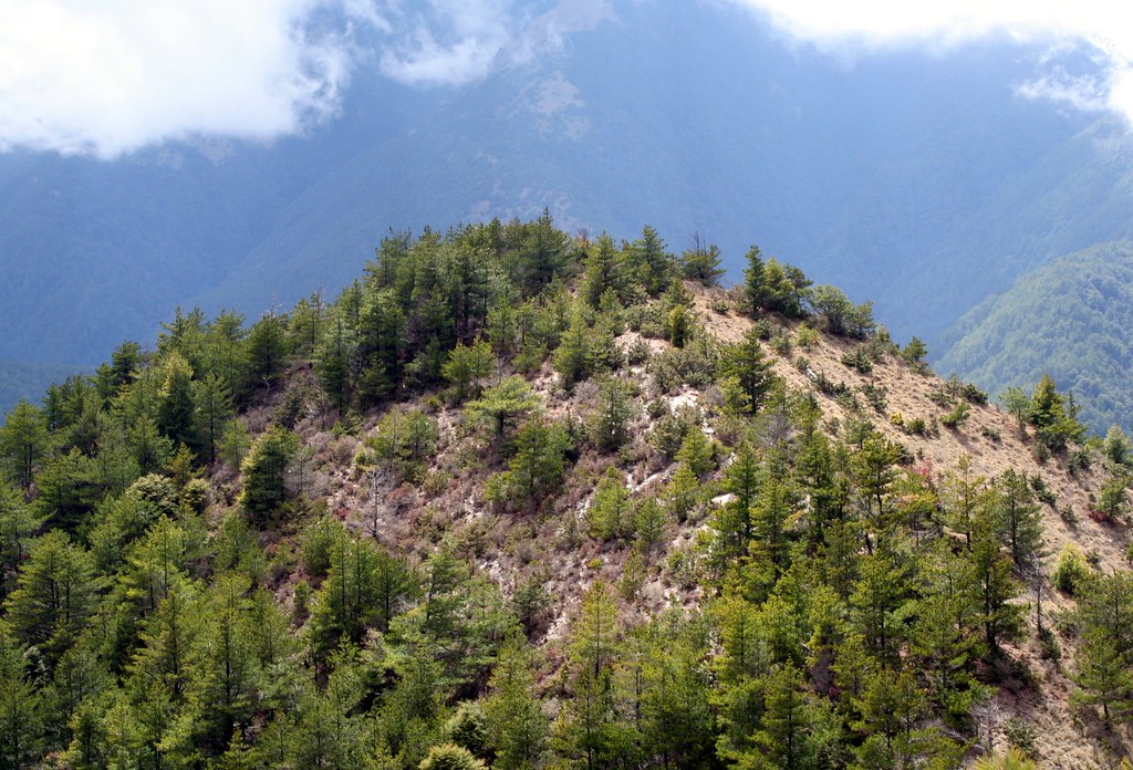
Our destination today is the cabin at Dashuiku (elevation 3280m). In the last hour or two the terrain starts to change from thick red pine forest to scrub: short alpine juniper and pines, and scraggy shrubs that catch on your pack. It’s a dry and rugged landscape.
We arrive at Dashuiku Cabin around 4pm. The red cabin lies in a rolling yellow alpine meadow similar to Batongguan, though with a wider sweep. The cabin rests just above the lowest point, where a small pond of still water lies. The air is chilled with a lashing wind but the cabin is well made, with double glazed windows, and is remarkably cozy inside. We have it so much better than the Japanese who used to abandon the area 4 months a year because of the extremes of weather.

At Dashuiku, the Qing and Japanese Era trail converge for the last time. It’s the highest point on the entire Japanese era trail and is actually considered the end of the eastern trail (which begins in Yuli). During the Japanese occupation there were plans to build a road through here, but it was deemed too expensive and difficult to attempt. Later plans by the KMT in the 1970s were also shelved. Now fortunately, this is all national parkland.
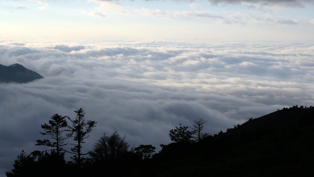
There is a lovely, but difficult to photo sea of clouds that evening.
Signs of sambar deer (their scat and prints) all over the meadows and around the pond. When night falls I go outside and wander round. I hear deer grunt and squeal not 100m away but I can’t see anything. There’s no moon tonight and the stars don’t give off enough light to see your hand in front of your face.
I don’t wander too far as the fog rolls in and out without warning and there is only a single red light on the cabin roof to guide you back.
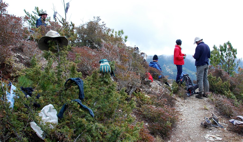
The hikers we had seen on the saddle share the cabin with us that night. They are a student group that had tried to catch the snowfall at Jiaming Lake the week earlier (Richard, Dave and Mai saw it and described it as one of the most beautiful sites they have seen). But they arrived just a little too late and now are stuck carrying and wearing heavy boots and parkas.
Oddly, they also carry a heavy frying pan. That evening, as the rest of us settle into our sleeping bags for a few hours rest, they can be seen crowding round a glowing gas stove preparing pancakes for the morning. I fall asleep to the clink, clink of a spatula hitting the frying surface. It’s a restful sound. At least compared to the snores of the middle aged that make me lose brain cells.
Click here for Day Five.
Practicalities:
There’s water from a stream in the first hour and more maybe 3 hours later. Dashuiku has rainwater tanks but they are often empty. Some people take water from the pond but there is a nice clean stream not 30 minutes back toward Jhongyang. After we arrived and realized there was no water, Stephen and I hiked back (it’s flat) to the stream and collected 8 liters. We were rewarded with the sight of a sambar on a flat across a gully.

6 comments:
What an wonderful account of our hike. I must say, you have done a superb job with the write-up.
And you are too kind to not mention the snorer by name... Strange, I must have slept right through all of it :-0
Funny how garbage, 80 years later, becomes archaeological artifacts!
Yeah, that is funny Chris. I managed to bring one small bottle with me. Next time I will definitely take a beer.
Stephen, thanks. But it's taken almost as long as the hike.
BTW, the last 3 days should be up later today.
Robert, what do you recommend for water treatment?
We used chlorine dioxide drops, specifically the Pristine system where you add equal drops of A to B. We also used chlorine tablets a few times.
No problem at all.
Thanks Robert.
great series. wish i was a bit younger!
Post a Comment