Showing posts with label Nanao. Show all posts

Saturday, December 20, 2008

Return to Nanao: the Biyahao Historic Trail


You live here long enough and the whispers of the past start to rise to a conversation. Cuts through the forest became trade routes, sites of major battles, and forced resettlements of the native populations by Qing, Japanese and Guomingdang colonizers. And you start to make connections.

Such was it two weeks ago when we stumbled more or less on a centuries old path that runs from Nan-ao on the east coast as far inland as the No 7 highway. It's a few dozen km as the crow flies but 4-5 days with a pack on your back and a determined look to conquer the Batongguan of the north.


As with the Batongguan, the Biyahao Trail began as an aboriginal trade and transport route. In this case, it facilitated the salt trade for the Atayal. This from the National Trail System website:

"The Biyahao Historic Trail used to serve the Shakadan Group of the Taiya Tribe when traveling upstream of the Dajia River across the Siyuan Path before proceeding eastward to Nanao River and Dazhuoshui river and the trip covers the mountain trails in Siji and Nanao."

Those who recall my blog on the Batongguan trail will know that work on that trail began in 1875 after the Mudan incident showed the Qing had no real control over most of eastern Taiwan. As rush of trade and military routes began to be established all over the island.

"In 1889, Liu Chao-dai (劉朝帶), Liu Ming-chuan's nephew, led a team of about 500 soldiers to developed a path in the mountainous region at Xiao Pi-nan-tang (小埤南塘) in Xiao Nan-ao. They tried to find a route to reach San-pu-li village (前山埔里社). In search of San-pu-li village, Liu Chao-dai and his men were attacked by Atayal people of Lao-gou-fan village (Lao-gou-fan, 老狗番, literally means old dog barbarian) at Dong-si-ren-keng (Dong-si-ren-keng, 凍死人坑, literally means freeze to death in Chinese). Approximately 300 soldiers were killed in this encounter which included Liu Chao-dai himself."

Liu Ming Chuan was the first governor of Taiwan after it was made a Qing province in 1885. He used all his power and connections to gather an overwhelming modern force to punish the Atayal for killing his relative.

Six years later, the Qing lost Taiwan to the Japanese. Under the new colonial rulers the Atayal did not fair much better and the Biyahao trail became yet another police route (as the Batonguan was). After 1945, all the villages up the valley were forced by the new KMT government to relocate closer to the coast. Hence Wuta is now a small settlement along the coast (served by the east coast rail line), while a day up the Biyahao trail you can find the abandoned remains of Old Wuta and a number of other centuries old aboriginal villages.

So how did I find all this? Well, a Taiwanese friend we all refer to as "Trail Hacker" informed me last summer that the forestry department was restoring an historic trail from Nanao to Siji: in other words, from the east coast across undeveloped mountain ranges to the No 7. The National Trail System website had a short entry on the trail and I devoured it, hungry as always for more.

A few weeks ago I headed out to Nanao to see if I could find anything more. During the day I visited an Atayal museum, a native species centre, a forestry department branch, and a local village chief. Information was sketchy, conflicting, or at best, promising, but out of immediate grasp ("I'll give you the number of a friend who does guiding in the area.") But we did get general directions to the area where the trail should begin.

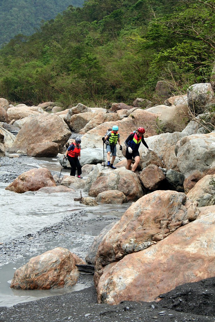
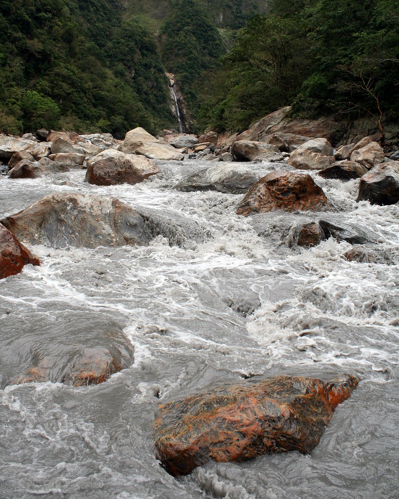
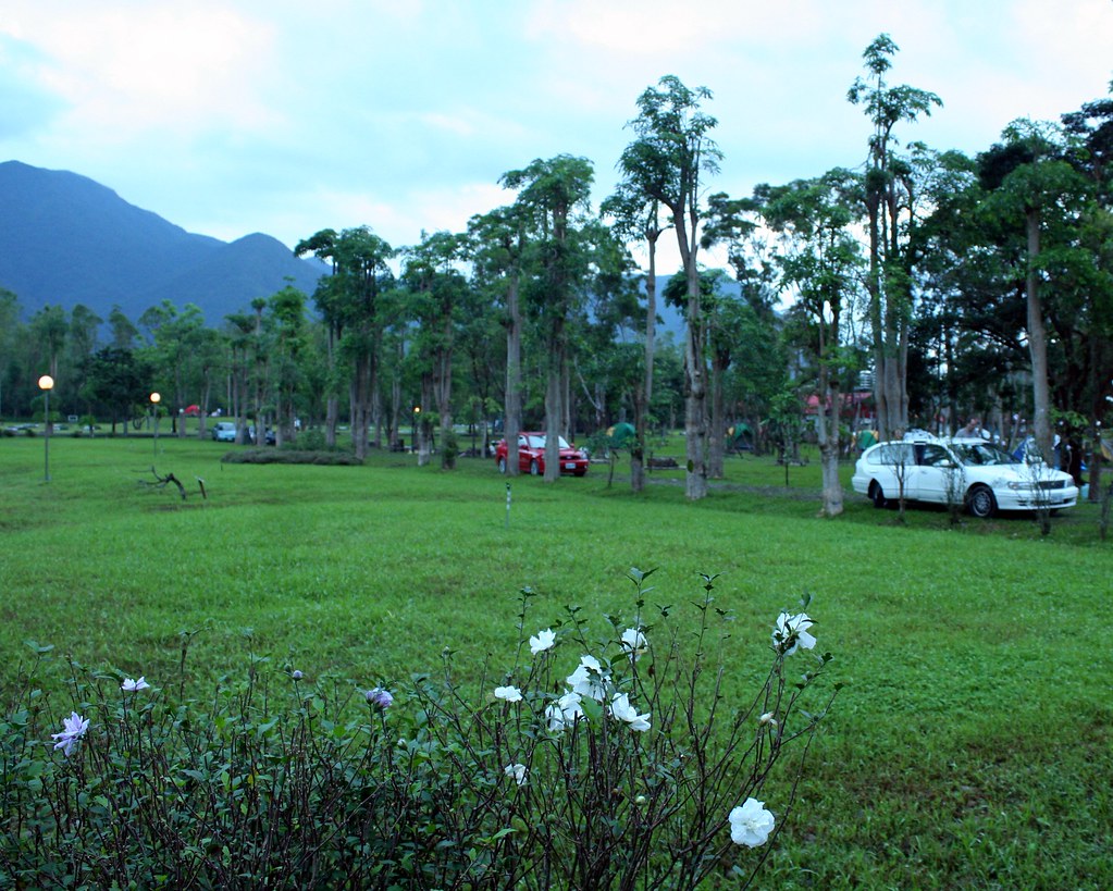
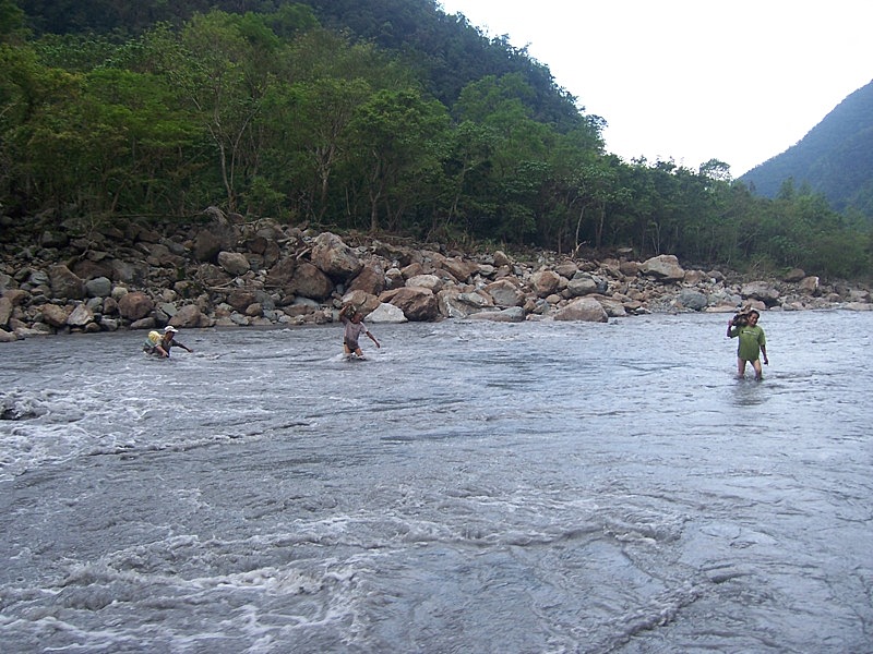
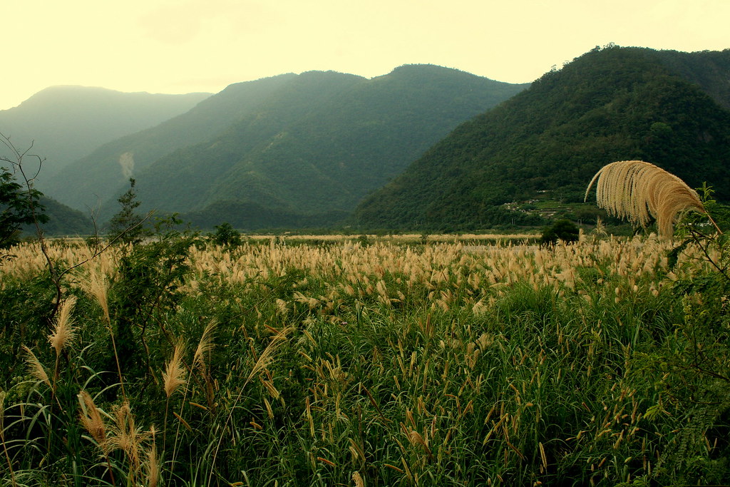
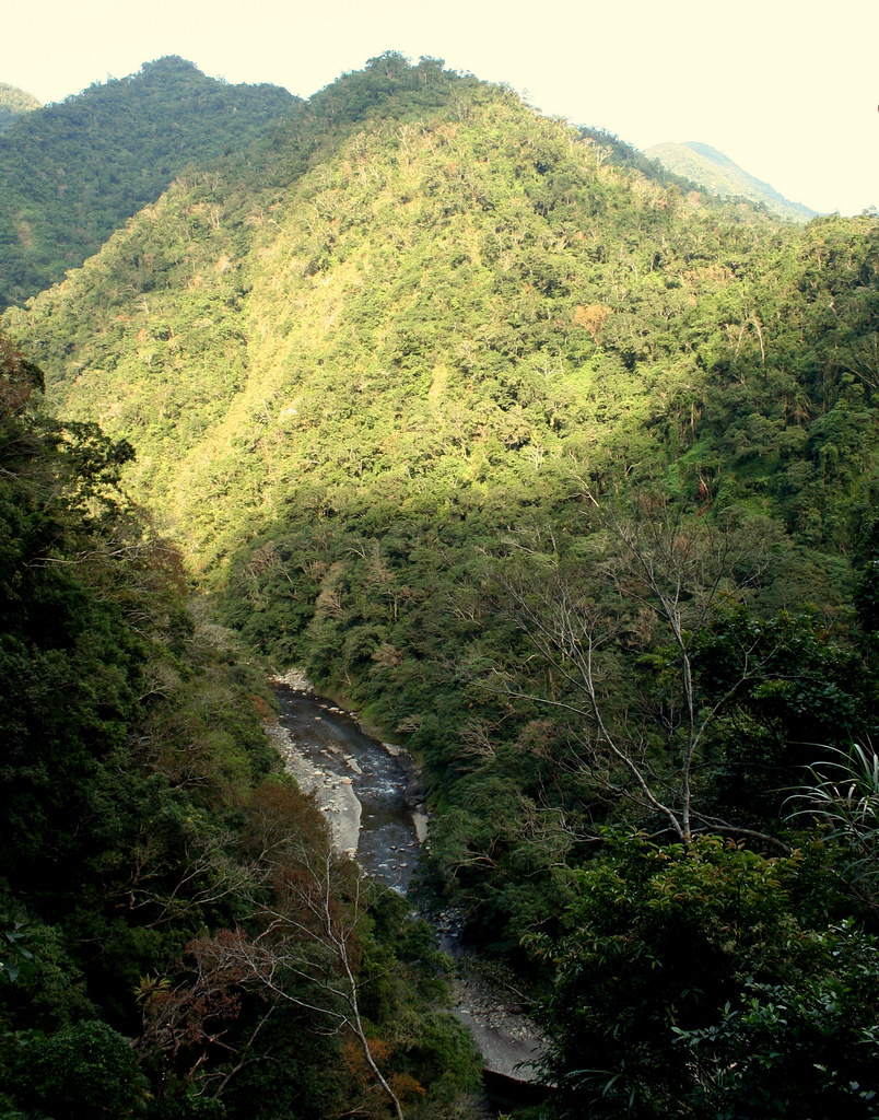
Now readers will recal that last month I visited Nanao and wrote about a river trace up the Nan-ao North River. Well, this time we were heading up the South River. As with its counterpart, the south runs through a deep wooded valley. On this day the valley was bursting with color as the handsome white silver grass bloomed in the open fields.


But as captivating as the scenery, what caught me more was the feeling that this was land, though so little developed, had been lived in for a long time.

We drove up the 57, a small country lane off Hwy 9, and a little past the village of Jinyang found a path called the Zhong-yue Stream Trail. I don't know the history of the trail but it was recently restored as a type of make-work project for the local community. We explored briefly, admired the crystal clean clarity of the stream water, but had to return to our car prematurely as it was getting dark.

That was a Sunday. By Monday I was chaffing to go back and explore. The weather that week promised to be glorious, sunny and dry, and so I made a date to return on Thursday no matter what. One of my regular hiking partners, Kate Lin, kindly offered to join me, and we set off at 8am from Muzha.

Despite the early morning traffic through town, it was smooth sailing once we got on the highway, and two hours later we arrived in Nanao. We drove across town, crossed the north and the south river, and then turned to follow the latter upstream.

When we got to the trailhead for the Zhong-yue Stream Trail, I decided to drive a little further to the end of the road. Since Sunday I had had a look at my wonderful Formosan Complete Road Atlas, and discussed the area online with the hiking god Jah Linnie. I was pretty sure the road would end in a few km and the trail to Siji would begin.

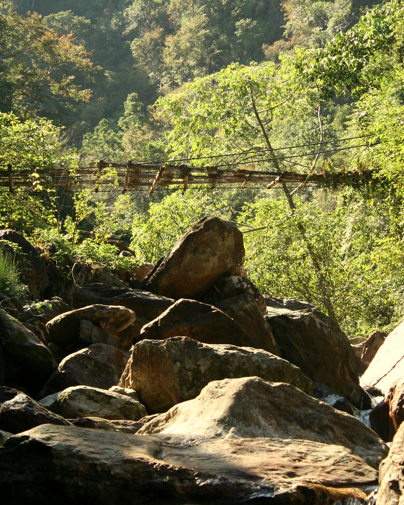
So it was. And the trail was signed too:


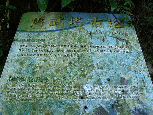
Of course it says Wuta Old Trail, but this is part of the whole Biyahao Trail, Wuta being the abandoned village a day up. In part, this confusion, or rather overlapping of names, is what made finding information from the various museums and forestry departments so difficult.

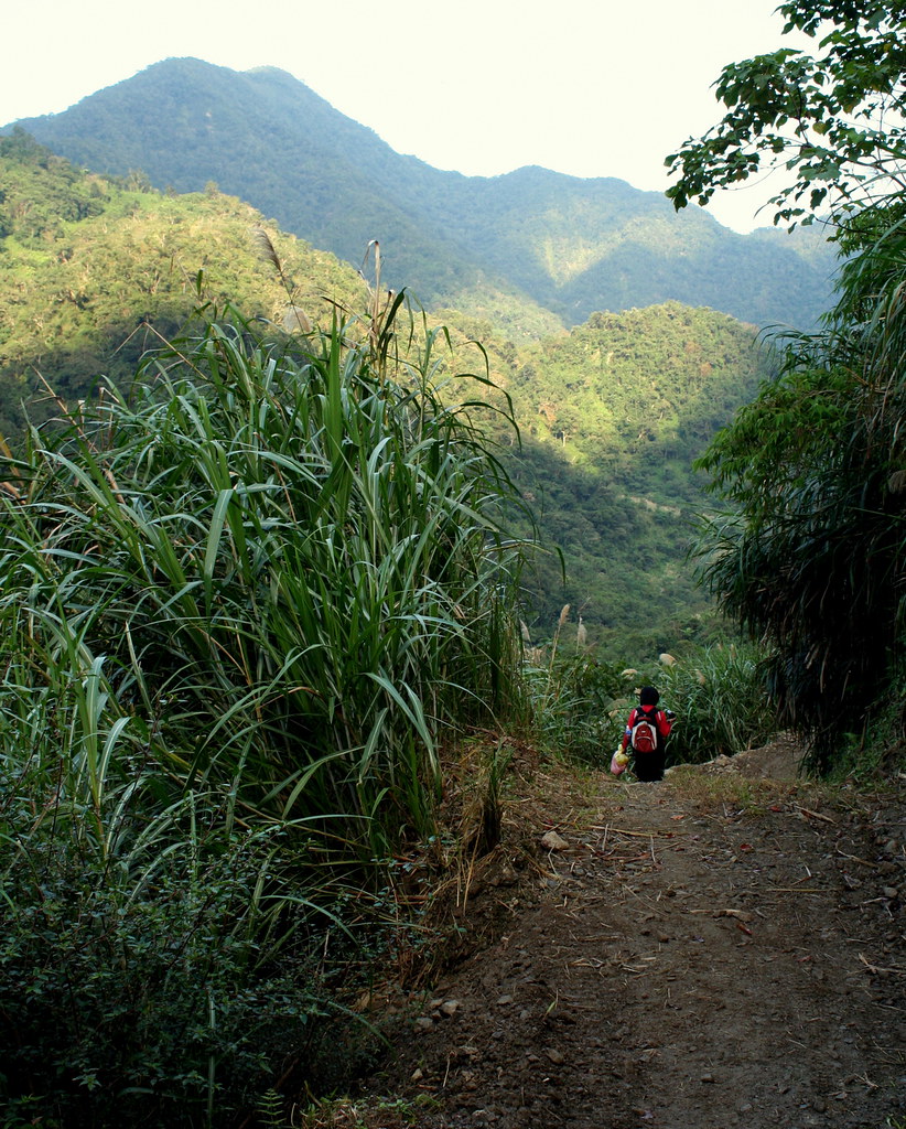
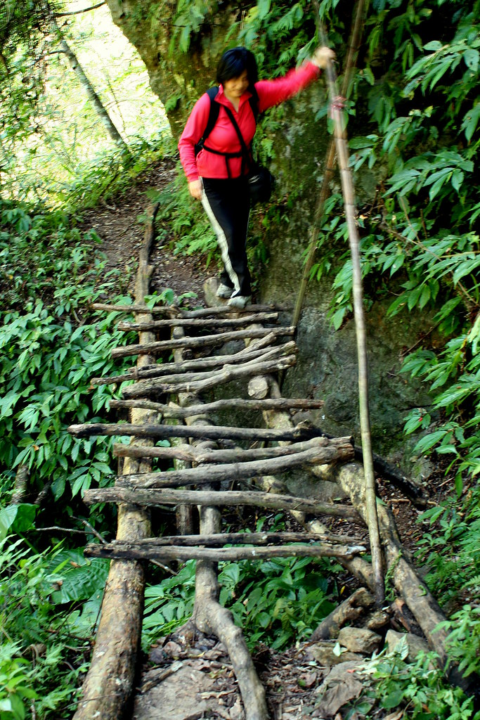
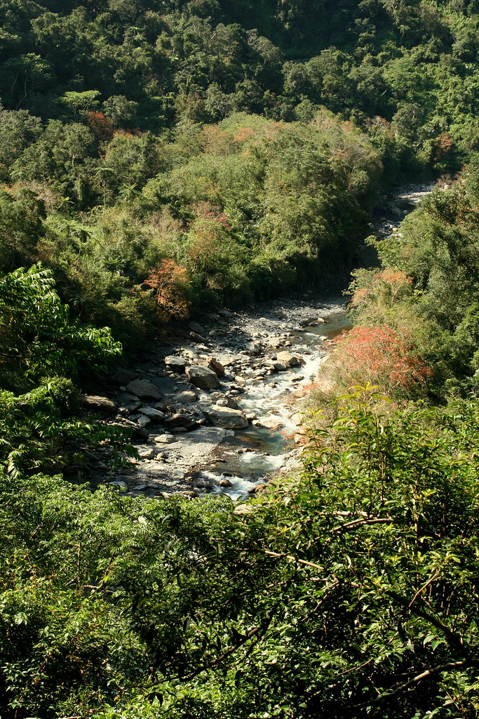
In any case, Kate and I set out on the trail and were delighted to find it wide, smooth, flat and clear. In fact it looked as if someone had been through that day with a machete.


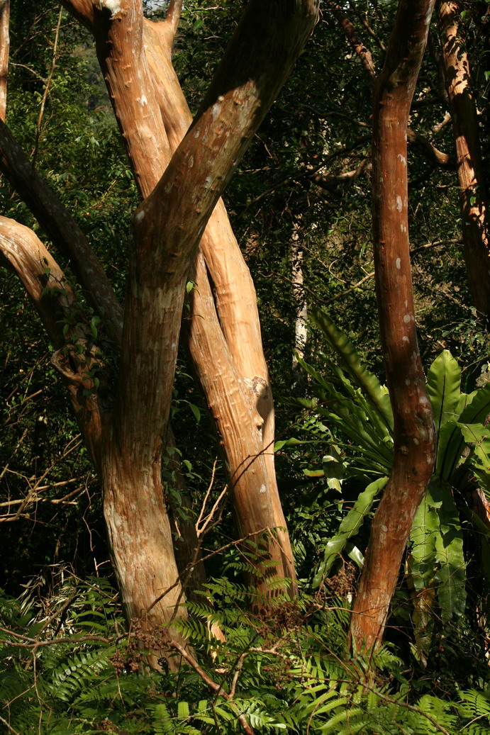
It was a beautiful even trail and its age was apparent in sections that were obviously cut out of the rock face: hunters don't do that, only Japanese or Qing troops. Kate could not help crying Wow, wow, wow, every few seconds. I felt the same way. The views across the valley were superb: the gums were turning red, and the Monkey Slip Trees (Chinese Crape Myrtle) were out in force.


After an hour into the hike we began to hear the sounds of large animals crashing through the underbrush: deer or wild boar likely. We also spotted a gorgeous Muller's Barbet, a partridge, and a small troop of monkeys. And that was an hour in: imagine the wildlife on day two or three.

Kate and I hiked in about 2.5 hours and reach side stream that poured into the Nanao South River over a 5 metre high cleft in a stone wall. Below was a beautiful inviting swimming hole that would be worth hiking to on a summer day. We had lunch on the rocks and decided to call it a day.


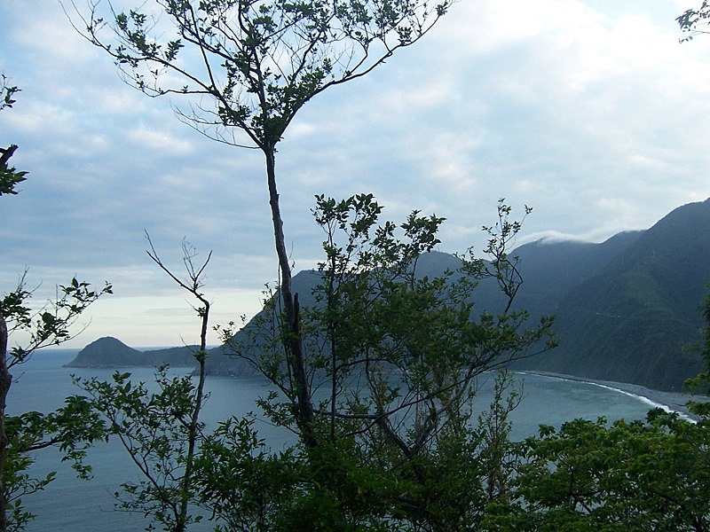
It was about 4pm when we reached the car. I asked Kate if she minded if we drove to the Zhaoyang Historic Trail that ran along Turtle Hill, a small mound rolling back from the ocean. It's a short trail, 1.9km in all, but the views over the Pacific and down the coast to the famous 1000m Chingshui Cliffs are astonishing. Kate agreed but by the time we arrived at the north trailhead (after an hilarious wrong turn that left us at the end of a no through lane with rice fields dropping on both sides) the weather had suddenly shifted and it was pouring with rain.

I wanted to find the south entry point in any case so we drove out and after a few wrong turns found that trailhead. We were surprised to find it wasn't raining here and so decided to hike up to the top for a look. As it turned out, the best views are closer to the north (harbour) entrance.

We walked the trail through the darkening of night. We passed through a rare intact Gordonia forest, and ended up at a Qing Dynasty lookout that had once held English cannons pointed out to the Pacific. Even in the dark we could tell that the views during daylight would knock your socks off. Anyone heading down the coast to Hualien would do well to make a brief stop in Nanao and climb the Zhaoyang Trail.

So that was my exploration. Now what? Well, after researching and phone calls we have discovered that the Luodong Forestry Department is restoring the trail and it will officially open some time in 2009. Further research has shown that hiking clubs have already begun to explore the area, as the trail, though officially not open is pretty much in walkable shape. One can expect a great 4-5 day trek across the lowland hills of Taiwan through some of the most unspoiled scenery on this island.

Oh and the hot springs.

Thanks to Kate, we found a website of a group that has done the trek; and their videos show a 4 metre hot spring geyser on day two or three. The geyser is called the Mohe Hot Spring Fountain (莫很噴泉) and damn does it look cool. But there is also the Buxiaowan Stream spring (布蕭丸溪). (Scroll down for videos of the springs.)

I really have a hard time sitting still thinking about this trail. I've talked to everyone I know about it, mostly while pacing my floor on the phone.

The Biyahao: an historic hot spring trail. Is there anything more quintessentially Taiwanese? Is there anywhere Pashan would rather be exploring?

I've going to do this some time in the coming months. Without a doubt. Stay tuned. It's going to be a hell of an adventure.

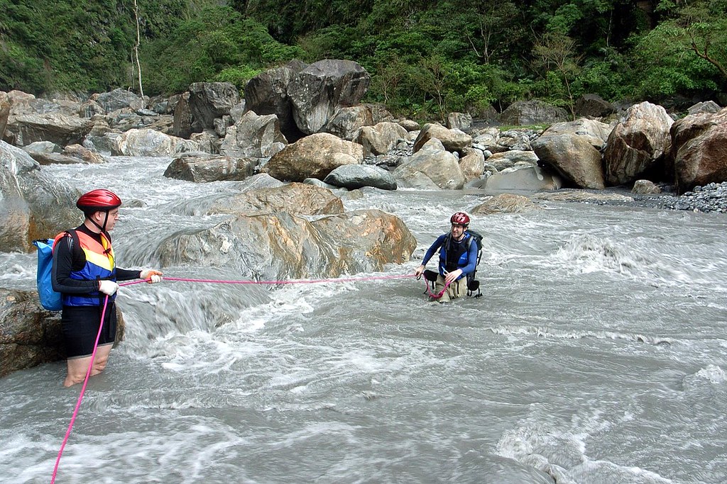
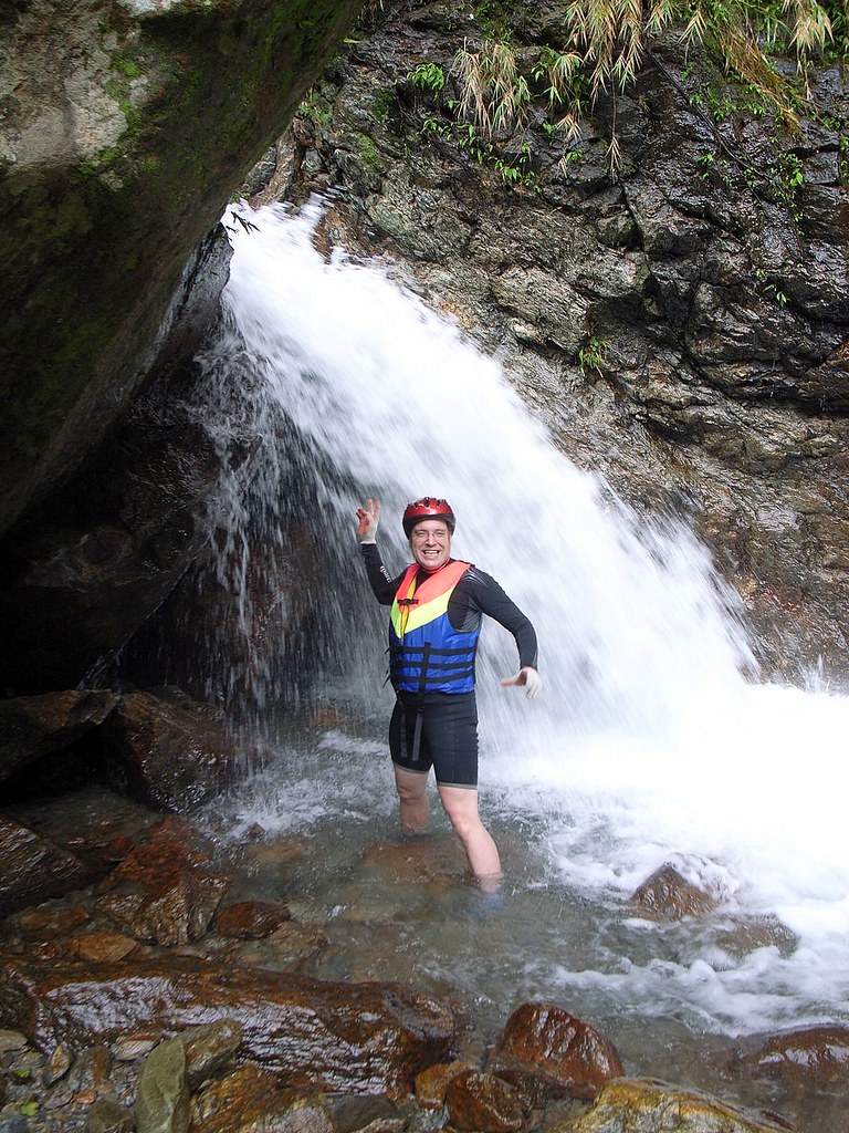
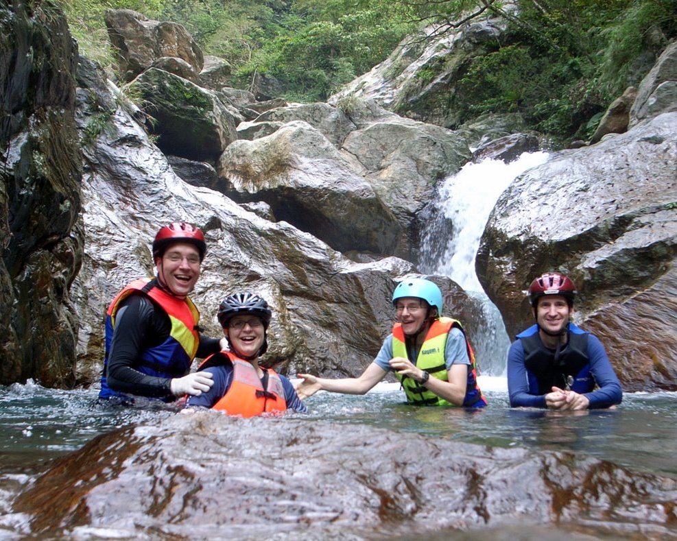
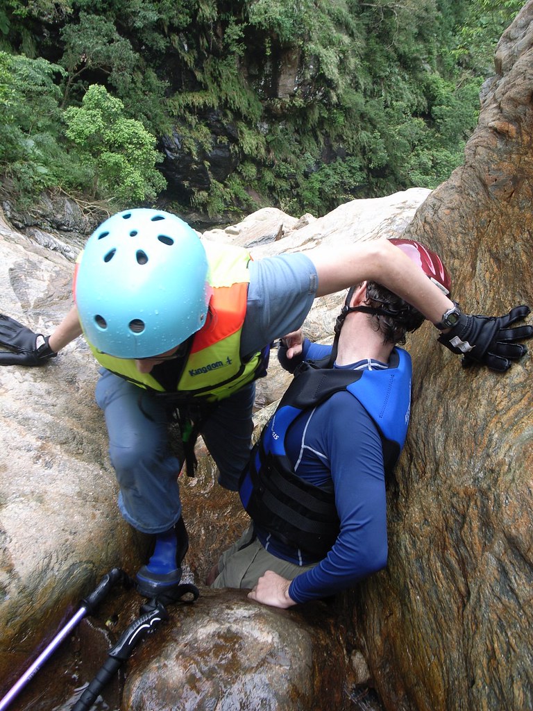
For the full set up pics click here. And here for Kate's blog entry on the hike.

Practicalities:

No prac stuff until I explore the whole trail. For the Dutch, you REALLY have to come and do this with me!

Tuesday, November 4, 2008

Nan-ao River Trace


It's raining hard outside my window, and the patter of drops on my awning has put me in a nice mellow mood. Rain reminds me of home, Vancouver, and since Vancouver reminds me of hiking it's time for the latest installment of Pashan.

The subtitle of Pashan is: hiking the mountains, valleys, rivers and jungles of Taiwan. I haven't had a good river tracing entry since last year's 5 day walk up the Namasiya River in Sanmin (which led of course to a month in bed with scrub typhus) so I am well overdue.

Now November is a bit late in the season to be sloshing in water, but we'd had good weather all week and I was bringing along a pair of neoprene shorts and socks. My destination was the North Nan'ao River and the wild hot springs a few kilometres upstream.


I invited a few friends I thought would be up to the challenge and we set out on Saturday night to Nan'ao with plans to camp out at the Nan'ao Recreational Farm. Kat was in my car, and being a good conversationalist, she distracted me from the road. From Xindian MRT station we drove across Muzha to the highway entrance. By the time I realized I was on the wrong highway we were at the exit near Xindian MRT station. Oops. One hour later we had crossed Muzha again and were back on the route to Hwy 5.

We made it to Su'ao without incident (maybe because most of the way is a tunnel) but here once again we started going round in circles, always managing to get off on roads heading north.

"You know, I really do write about this country for a living," I joked.

Eventually we found ourselves on Hwy 9 heading south on the highly scenic stretch from Su'ao to Nan'ao. The twisting road tosses up expansive views across the Pacific and down the coastline which, rising straight out of the water, and broken with dark islands and rugged promontories, is a tropical island setting par excellence.


Of course we were driving in the dark (the pic is from the return trip) and missed it all. Plenty of mist though and I must say I did not enjoy the tortuous journey very much.

We arrived in Nan'ao about 9.30pm. After a short drive through town we crossed the bridge over the North Nan'ao River and took an immediate left. I didn't recognize the road at all.

"Yep, I really do write about this country for a living," I joked again.

It took a few drives up and down the main drag before I remembered that there are two rivers in Nan'ao and the left turn was after the bridge over the south river. My travel writer's bona fides re-established, we made our way to the campground.

There was no one at reception so we set up on a grassy field near a small cluster of other campers. Kat noticed the mess of bottles, bags and food items on the picnic table beside a group of tents and commented how this would get you eaten by a bear in Canada.

But in Taiwan the camper has fiercer worries, including out-of-control kids and karaoke. Yep, the machines were blasting what might - within scare quotes - be generously called "melodies" from a metal shelter across the field. More annoying though was the scene of domestic un-harmony in a backlit tent 50 yards from us. A spoiled kid was being berated but his parents, but such were the wails and moans of the child that, complemented with the KTV soundtrack, the scene took on a strangly operatic quality.

The wailing stopped after an hour but the KTV continued till 11.20 when the revelers went to bed. No big deal. Unfortunately, there was another group singing on the far side of the campground, up the road past the reception house. The sound was low at first but as the night grew quieter it was less and less tolerable.

"Well, the locals win tonight," I said, as really there was not much to do. Holger quipped that at least it wasn't techno, as he had once been forced to endure a sleepless night in Heilongtan when a group of local gangsters decided they needed more of the great outdoors in their lives.

Like everyone else I had a fitful night's sleep. The music went on till 1.30am and then, after a peaceful lull, when only the sounds of night herons, crickets, and geckos filled the air, the singing picked up at 4.30. I tried sticking my fingers in my ears to drown out the sound but of course as soon as I started to doze off the fingers slipped out and the ahhhhh ewjgg oooooxqqwy, la la la was all I could hear.

By 6am we were all up and preparing breakfast. Everyone was in a good mood despite lack of sleep. The campground, as you can see in this pic, is really lovely though I wouldn't be in a hurry to ever stay there again on a weekend.


We headed out about 8.30 and drove into town for some water and snacks for the trip.

"Do you know how to get to the trailhead?" Holger asked.

I said I did and we'd meet him there. But as I drove through town it was obvious I couldn't remember the turnoff for the springs. I wanted to ask a local but I couldn't remember if the name of the developed springs along the same road was Siji or Si-something else (Siqu, or Four Parts, as it turned out).

"Where the hell is my Lonely Planet when I need it."

As we crossed the Nanao South River I saw the road that we needed to turn off. We drove down the quiet country lane, and passed through the aboriginal village of Jinyue. On the other side, we found ourselves being challenged to a race by an 8 year old on a scooter. We knew he was 8 because the other two kids on the scooter with him didn't look more than 10 and 12. In any case, he beat us.

The road roughened at the end, and a few stretches were in desperately bad shape. Two patches saw the tarmac jagged and crumbling at the edges where half the surface had collapsed. We probably shouldn't have driven over them.

In any case, at the end of the road we parked and donned our super hero costumes.


Normally I don't wear much for river tracing but we were going to have to cross a fast wide river and then enter a narrow canyon with 600m high rocky walls. Last time Holger traced up to the hot springs rocks tumbled down on his group at frequent intervals.


We set out and hiked along the shore, clambering over and around the boulders, which were stained with beautiful swirling orange and white patterns. The river beside us flowed a muddy grey (from upstream quarrying) but otherwise the terrain was a very beautiful and untouched part of Taiwan. There was lots of driftwood caught between rocks and a fair amount of it was sweet smelling camphor. There were also some strange sand formations.


And one long but very dead worm:


Holger was nominally leading the trip and told everyone to keep an eye out for signs of when to cross the river. Usually these are rock cairns and sure enough, an hour later we saw a small collection of stones at a sandy spot that was about as far up the left bank as we could go.


The spot looked right and we decided to give it a try. I tied myself to a 75-foot section of climbing rope and, with Holger holding on, stepped out into the river.


The water was up to my knees for a few metres but then quickly reached my waist and then solar plexus. At this deepest spot, the current was also the fastest and I could feel myself losing my balance. I slipped and Holger had to pull me in.

We tried a few more times, and from various locations along the river but it was always the same. The current was strongest where the river was deepest and the riverbed was soft gravel. Even if I could have made it across it is doubtful the gals could have as they would have been up to their noses in the deepest parts.

So we turned back and had lunch at the junction of the Nan'ao and a smaller, but beautifully clean and clear river tumbling down from the slopes. With so many hours on our hands we decided to head up this river for a look. It was a great move, as we hit a number of deep pools and frothy waterfalls perfect for standing under for a good massaging. Or superhero posing:


The scramble up the river was also a nice challenge, and I plan to return here next summer to trace as far up as I can.


When we got back to the cars, it was still early and so we drove to the Siqu Hot Springs. These are a makeshift affair of concrete pools built at river level: short on aesthetics though long on great views.

As we pulled up a group of 15 Taiwanese headed down the stairs. I balked at a soak with such a crowd, but Holger wanted to at least see the springs again (he had soaked and camped beside them many times). Surprisingly, only one open concrete box was left; the other structures had been destroyed by this year's typhoons. Such is life in Taiwan, and such are the difficulties of being a travel writer. Folks, if you head to Nan'ao don't get pissed off that some things aren't as I described them in 2006.

But note that there are advantages. With the destruction to the springs visitors now need to wade along the banks for 50m to reach the remaining pool. The 15 Taiwanese who arrived with us couldn't be bothered to step into the muddy river and so we had the riverside alkalescent carbonate hot spring waters pretty much to ourselves.

Of course the aboriginal guys had no problem crossing the stream. But they were a lot further downstream, and the river was wider, and shallower, and I think they did haves some kind of shamanistic protection...


As with all great hikes we finished this one off with a big dinner, this time a seafood feast at Su'ao harbour. A long debate ensued over who has it rougher in Taiwan: western brides or western grooms: on reflection I think the brides won soundly.


And as with all great hikes, it has taking me two days to clean up and put away all my clothes, pack and gear.


All pics can be seen here.

Practicalities:

Nan-ao is on the east coast, and Highway 9 runs straight through the centre. Regular train service connects the town with Taipei and Hualien. Getting to the river and campground is a bit tricky, as you have read, so my best advice is to bring a Lonely Planet with you (we're the only guidebook to have coverage - including a map - on this area).

If you head to the area in the next few months keep an eye out for any sign of the new trail systems connecting Suao and Nan-ao, as well as Nan-ao with Siji on Highway 7 (between Wuling Farm and Chilan). Both are part of the National Trail System and are slated to open at the end of this year. For a short stroll, there is a trail up to Turtle Hill which affords majectic views down the coast. Nan-ao is one gorgeous slice of Taiwan.

For my dear Dutchies, if you can find your way to Dusseldorf, Saudi Airways has a special to Bangkok. From here catch an EVA flight to Taipei and the take a bus to the Taoyuan train station. Catch a Hualien bound train and get off at Nan-ao Station. Or best, just call me when you arrive.